1
/
of
1
PublicPress DE
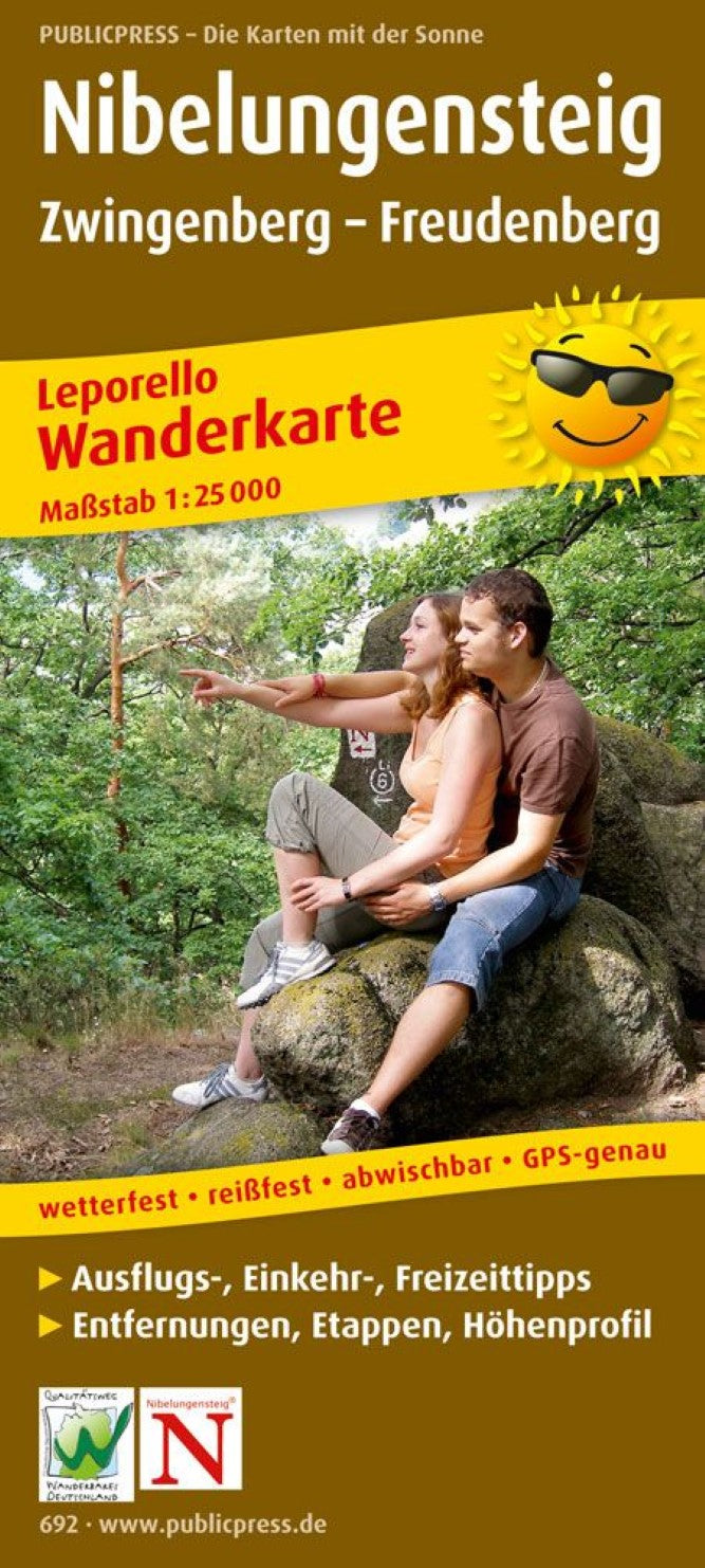
Nibelungensteig, Zwingenberg - Freudenberg, Leporello Wanderkarte 1:25.000 = Nibelungensteig, Zwingenberg - Freudenberg, Leporello hiking map 1:25,000
Nibelungensteig, Zwingenberg - Freudenberg, Leporello Wanderkarte 1:25.000 = Nibelungensteig, Zwingenberg - Freudenberg, Leporello hiking map 1:25,000
Regular price
$24.95 USD
Regular price
Sale price
$24.95 USD
Unit price
/
per
Shipping calculated at checkout.
Low stock
Couldn't load pickup availability
- SKU: PUB_H_692_NIBELUNG_16
- The demanding hiking trail with over 4,000 meters of altitude at more than 124 km impressively combines landscape, culture and history. Fantastic picture book panoramas change with shady forest passages, fascinating views are available from the heights of the sun -drenched mountain road across the Rhine plain on the mountain range of the Palatinate Forest, Donnersberg and the Taunus. Weared crops, small, often ramified valleys, elongated lifting villages with magnificent half -timbered and legendary rock formations as well as relaxing silence compensate for some shed drops. (Earth) history at every turn meets the hiker on the entire Nibelungensteig, who pulls through the Geo-Naturpark Bergstraße-Odenwald completely. 33 sub -maps and 6 editorial pages
- Type: Folded Map
- Subtype: Hiking
- Language: German
- Publication Date: 2018-01-09
- Scale: 1:25000
- Regions Covered: Central Europe, Europe
- Countries Covered: Germany
- ISBN: 9783899206920
- MPN: PP 0692
- Folded Size: 3.54" (W) x 7.86" (H)
- Unfolded Size: 145.14" (W) x 7.86" (H)
- Weight: 3.53 oz


