1
/
of
1
PublicPress DE
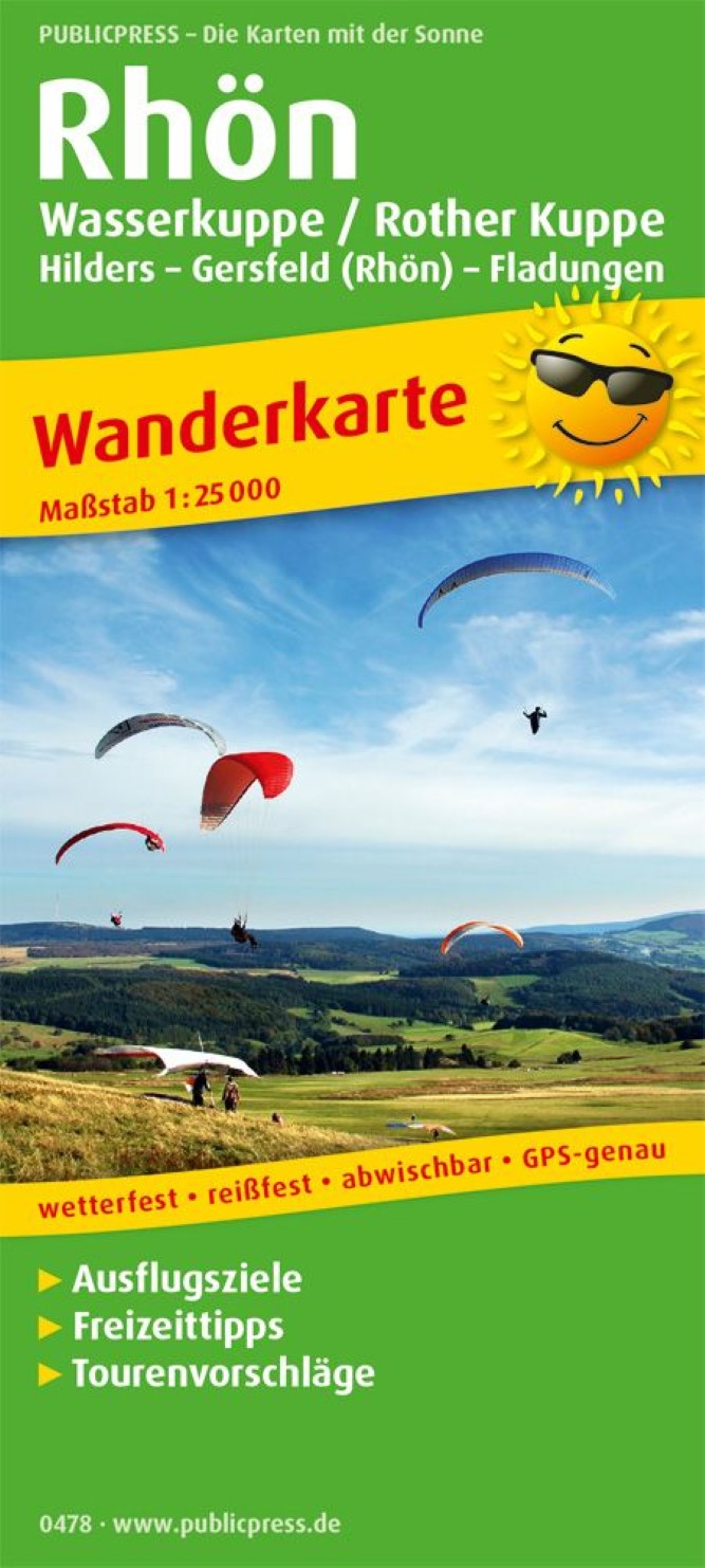
Rhön, Wasserkuppe / Rother Kuppe, Hilders – Gersfeld (Rhön) – Fladungen = Rhön, Wasserkuppe / Rother Kuppe, Hilders - Gersfeld (Rhön) - Fladungen
Rhön, Wasserkuppe / Rother Kuppe, Hilders – Gersfeld (Rhön) – Fladungen = Rhön, Wasserkuppe / Rother Kuppe, Hilders - Gersfeld (Rhön) - Fladungen
Regular price
$14.95 USD
Regular price
Sale price
$14.95 USD
Unit price
/
per
Shipping calculated at checkout.
Low stock
Couldn't load pickup availability
- SKU: PUB_H_478_RHON_19
- The Rhön hiking map does justice to its name, as hiking trails are drawn in detail by the low mountain range. Cyclists can also explore the Hessian and Bavarian Rhön nature parks with the help of the marked routes. Condition is required because the highest elevation, the water cap, is 950 m above sea level. Nn. The back informs about the well -known long -distance hiking trails such as the 180 km long Hochrhöner and on landscape peculiarities (red or black moor), as well as the back.
- Type: Folded Map
- Subtype: Hiking
- Language: German
- Publication Date: 2016-01-06
- Scale: 1:25,000
- Regions Covered: Alps, Central Europe, Europe
- Countries Covered: Germany
- ISBN: 9783747304785
- MPN: PP 0478
- Folded Size: 3.54" (W) x 7.86" (H)
- Unfolded Size: 35.4" (W) x 23.58" (H)
- Weight: 2.43 oz


