1
/
of
1
International Travel Maps
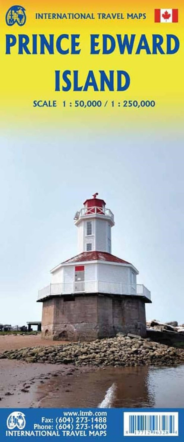
Prince Edward Island Travel Reference Map
Prince Edward Island Travel Reference Map
Regular price
$14.95 USD
Regular price
Sale price
$14.95 USD
Unit price
/
per
Shipping calculated at checkout.
Low stock
Couldn't load pickup availability
- SKU: ITM_PEI_24
Road map Prince Edward Island
On one side is Prince Edward Island, including the nearby coast of New Brunswick and Nova Scotia. The island’s road network is shown on a contoured topographic base with colouring/graphics for different type of terrain and land cover.
On the reverse is a topographic map of the central part of the island, north of Charlottetown. On both sides the publishers’ overprint highlight various types of accommodation including hotels, motels, lodges, campsites and RV grounds; tourist information centres; locations for recreational activities including fishing, horse riding, wind surfing etc. The map is printed on paper.
- Type: Folded Map
- Subtype: Travel
- Language: English
- Publication Date: 2024-02-01
- Scale: 1:250,000
- Regions Covered: North America
- Countries Covered: Canada
- States Covered: Prince Edward Island
- ISBN: 9781771296328
- Folded Size: 4" (W) x 9.5" (H)
- Unfolded Size: 39" (W) x 27" (H)
- Weight: 1.7 oz


