MapArt Publishing Corporation
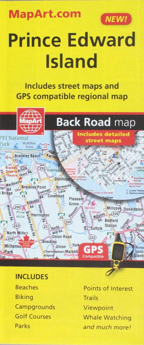
Prince Edward Island, Road Map
Prince Edward Island, Road Map
Regular price
$5.95 USD
Regular price
Sale price
$5.95 USD
Unit price
per
Shipping calculated at checkout.
Couldn't load pickup availability
- SKU: CCC_PEI_23
- CCC folded maps have been the trusted standard for years, offering unbeatable accuracy and reliability at a great price. Detailed indices make for quick and easy location of destinations. It's a must-have for anyone travelling in Prince Edward Island. Includes detailed provincial map of Prince Edward Island. Detailed city maps of: Charlottetown, Summerside, Alberton, Cornwall, Kensington, Montague, Souris and Stratford.
- Type: Folded Map
- Subtype: Road
- Language: English, French
- Publication Date: 2023-01-01
- Scale: Scales differ
- Regions Covered: North America, North Atlantic Ocean
- Countries Covered: Canada
- States Covered: Prince Edward Island
- ISBN: 9781553686859
- UPC: 66770206851
- Folded Size: 3.94" (W) x 9.25" (H)
- Unfolded Size: 27.17" (W) x 39.37" (H)
- Weight: 1.8 oz