Reise Know-How Verlag
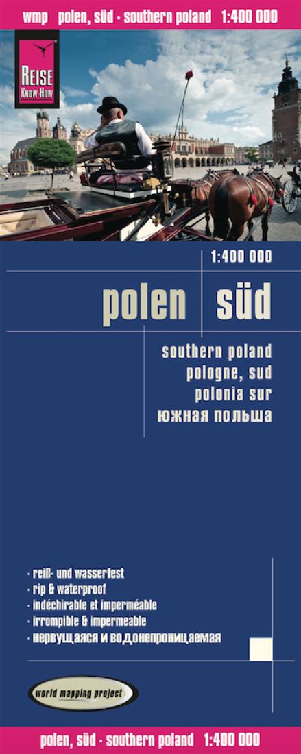
Polen süd = Southern Poland = Pologne, sud = Polonia sur
Polen süd = Southern Poland = Pologne, sud = Polonia sur
Regular price
$14.95 USD
Regular price
Sale price
$14.95 USD
Unit price
per
Shipping calculated at checkout.
Low stock
Couldn't load pickup availability
- SKU: RKH_POL_S_14
- Southern Poland at 1:400,000 on an indexed, waterproof and tear-resistant road map with topographic and tourist information and historical German names for main towns, published by Reise Know-How as part of their highly acclaimed World Mapping Project. The map is double-sided to provide the best balance between a good scale and a convenient size sheet. The map divides southern Poland east/west, with an overlap between the sides. Coverage starts at the Lódz – Radom line. Names of many towns within areas which during the 19th and part of the 20th century were in Germany are shown with their German equivalents. Road and rail networks are easy to see on a clear base which shows the area’s topography by altitude colouring with contours and spot heights. Road network includes unsurfaced local roads and indicates locations of border crossings. Internal administrative boundaries are shown with names of the provinces. Symbols highlight various places of interest, including campsites, castles, churches, viewpoints, etc. The map has a latitude and longitude grid at intervals of 30’ and an index of place names. Map legend includes English. PLEASE NOTE: there is no overlap between this title and the publishers’ current edition of Northern Poland – a large band across central Poland is not covered by either map.
- Type: Folded Map
- Subtype: Road
- Language: English, French, German, Russian, Spanish
- Publication Date: 2014-06-01
- Scale: 1:400000
- Regions Covered: Central Europe, Europe
- Countries Covered: Poland
- ISBN: 9783831772650
- Folded Size: 4.72" (W) x 10.24" (H)
- Unfolded Size: 27.56" (W) x 39.37" (H)
- Weight: 2.8 oz