1
/
of
1
Philip's
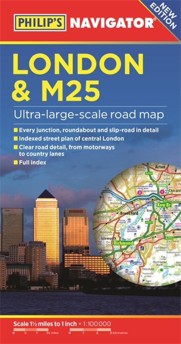
Philip's London and M25 Navigator Road Map
Philip's London and M25 Navigator Road Map
Regular price
$9.99 USD
Regular price
Sale price
$9.99 USD
Unit price
/
per
Shipping calculated at checkout.
Couldn't load pickup availability
- SKU: PHI_LON_M25_17
Double-sided folded map with full index of place names.
– Super-clear mapping
– All major routes shown
– Detailed Navigator mapping of Chatham in the east to Maidenhead in the west, and from Hemel Hempstead in the north to Gatwick Airport in the south
– AutoRoute junctions, restricted junctions, toll motorways and pre-pay motorways
– Gradients
– Tourist attractions
– Detail of hundreds of individually named farms, houses and hamlets. Also shown are airports, airfields, stations, ferries, canals, marinas and an abundance of places of interest.- Type: Folded Map
- Subtype: Road
- Language: English
- Publication Date: 2017-06-01
- Scale: 1:100,000
- Regions Covered: British Isles, Europe
- Countries Covered: United Kingdom
- States Covered: England
- ISBN: 9781849074384
- Folded Size: 5" (W) x 10" (H)
- Unfolded Size: 26" (W) x 47" (H)
- Weight: 3.7 oz


