International Travel Maps
Philadelphia & Mid-Atlantic States
Philadelphia & Mid-Atlantic States
Regular price
$10.95 USD
Regular price
Sale price
$10.95 USD
Unit price
per
Shipping calculated at checkout.
Low stock
Couldn't load pickup availability
- SKU: ITM_PHILA_20
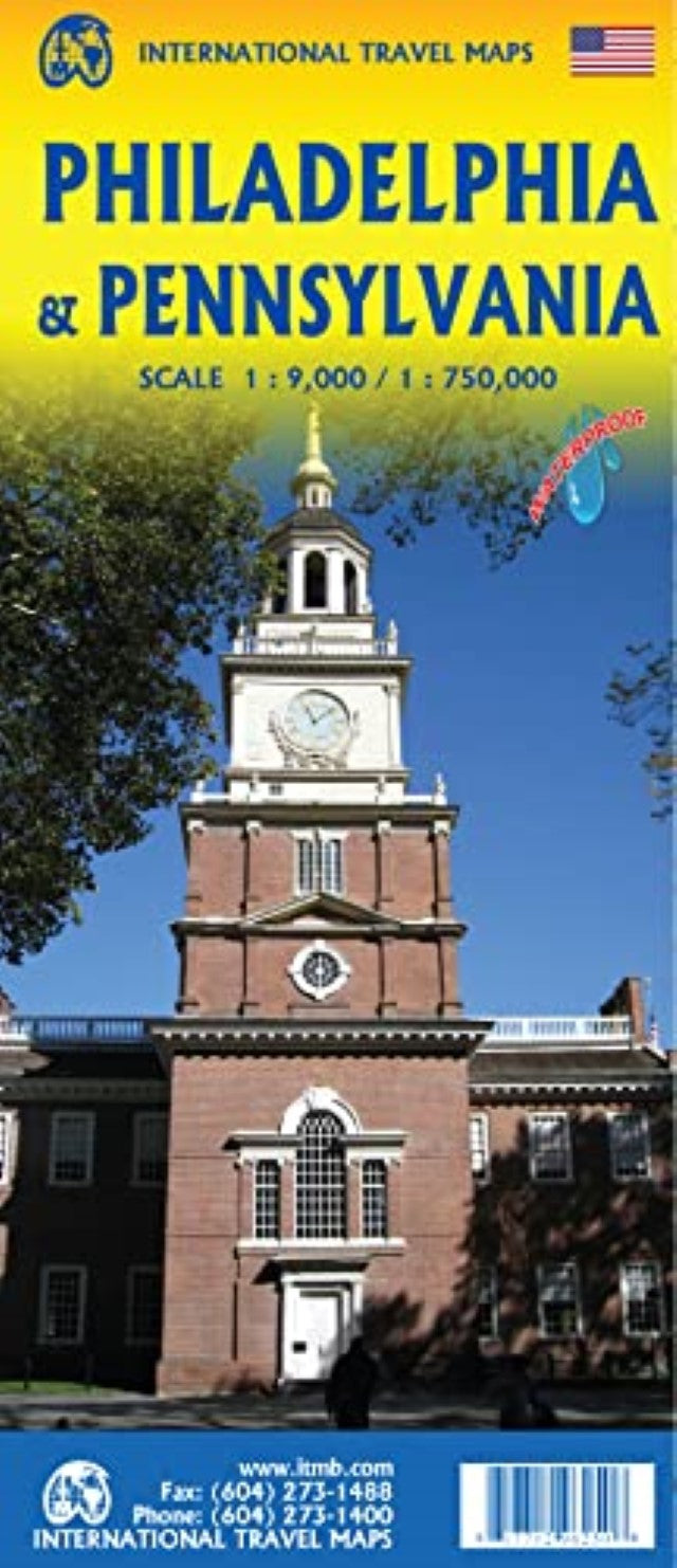
- The focus of the map is NYC to Raleigh, NC, with New Jersey, Pennsylvania, Washington DC, Delaware, Maryland, Virginia and North Carolina making up the map. The Philadelphia map covers from the zoo and art gallery in the north to West Oregon St in South Philly, so takes on much more than the historic area and the downtown, but does so at an excellent scale, so everything from the Liberty Bell to the University of Pennsylvania campus shows up clearly and easy to read.
- Type: Folded Map
- Subtype: Travel
- Language: English
- Publication Date: 2020-06-01
- Scale: 1:1,000,000
- Countries Covered: United States
- States Covered: Pennsylvania
- ISBN: 9781771296250
- Folded Size: 3.94" (W) x 9.45" (H)
- Unfolded Size: 38.98" (W) x 27.17" (H)
- Weight: 2.7 oz