
Universal Publishers
Perth City, Australia, Pocket Street Map
Perth City, Australia, Pocket Street Map
Couldn't load pickup availability
- SKU: UP_PERTH_PKT_24
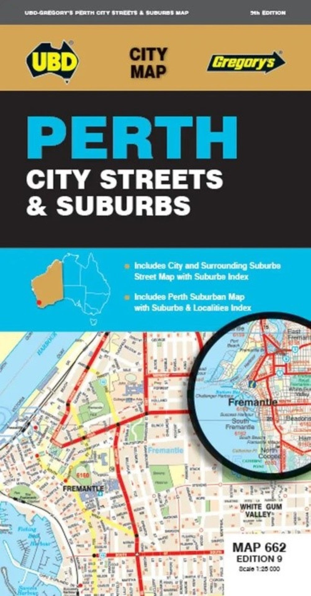
The latest edition of the Perth City Streets and Suburbs city map has been fully revised and updated and includes detailed street level mapping of Perth and surrounding suburbs at a scale of 1: 25 000 with coverage from Westminster in the north, Coolbellup in the south, Maylands in the east and along the coast from Trigg in the north to Fremantle in the south.
- There is also Perth suburban coverage at a scale of 1: 100 00 with coverage from Bullsbrook in the north, North Dandalup in the south, The Lakes in the east and along the coast from Quinns Rocks in the north to Mandurah in the south with insets for the towns of Pinjarra and Yanchep.
- With all this information contained in one convenient fold out map it is an essential tool when travelling in and around the Perth region.
- Type: Folded Map
- Subtype: City Maps
- Language: English
- Publication Date: 2024-10-31
- Scale: 1:6,090
- Regions Covered: Australasia, Oceania, Pacific Ocean
- Countries Covered: Australia
- States Covered: Western Australia
- ISBN: 9780731931309
- MPN: 661
- Folded Size: 4.33" (W) x 7.48" (H)
- Unfolded Size: 29.53" (W) x 21.26" (H)
- Weight: 1.6 oz