Terrain Editions
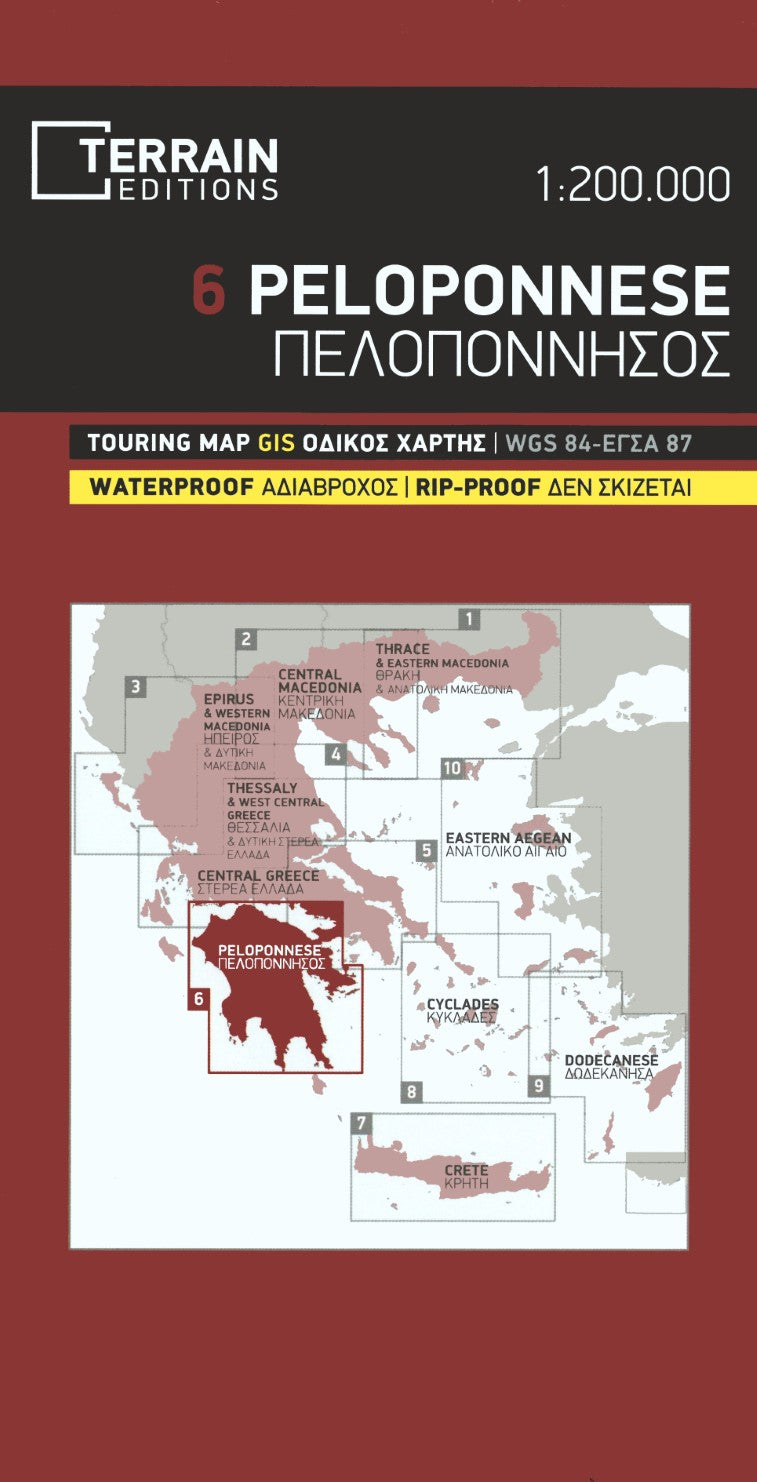
Peloponnese Regional Map (#6)
Peloponnese Regional Map (#6)
Couldn't load pickup availability
- SKU: TERR_6_PELO_25
Peloponnese Road & Touring Map by TERRAIN – The Definitive Travel Map
Explore Greece’s legendary Peloponnese region with the most accurate, detailed, and durable map available. This expertly crafted map from TERRAIN is considered the best road and touring map of Peloponnese in every respect—designed to guide adventurers, road-trippers, and history lovers alike with unbeatable precision and clarity.
Why This Map Stands Out:
Fully Updated Road Network: Navigate confidently with the latest road data, from major highways to remote mountain passes.
Exceptionally Readable Design: TERRAIN’s most refined cartographic composition to date. Every road, village, and point of interest is thoughtfully placed for intuitive use—making this a delightfully readable map even at a detailed 1:200,000 scale.
Rich in Travel Information: Includes all archaeological sites, scenic beaches, organized camping areas, mountain refuges, and the full route of the E4 European long-distance hiking trail.
Precision Mapping Technology: Created using advanced I.S. mapping in two geodetic reference systems—ΕΓΣΑ 87 and WGS 84—for pinpoint accuracy.
Built for the Road (and Trail): Printed on indestructible polyart paper that’s waterproof, tear-proof, and resistant to rough handling—perfect for real-world travel conditions.
Whether you're planning a coastal drive, visiting ancient ruins, or hiking the E4, this is the essential map for discovering all that Peloponnese has to offer—reliable, readable, and ready for the journey.
- Type: Folded Map
- Subtype: Road
- Language: English
- Publication Date: 2025-06-01
- Scale: 1:200,000
- Regions Covered: Balkans, Europe, Mediterranean Sea
- Countries Covered: Greece
- ISBN: 9789609456227
- MPN: 6
- Folded Size: 5" (W) x 9.75" (H)
- Unfolded Size: 39" (W) x 27" (H)
- Weight: 3 oz