Editorial Alpina
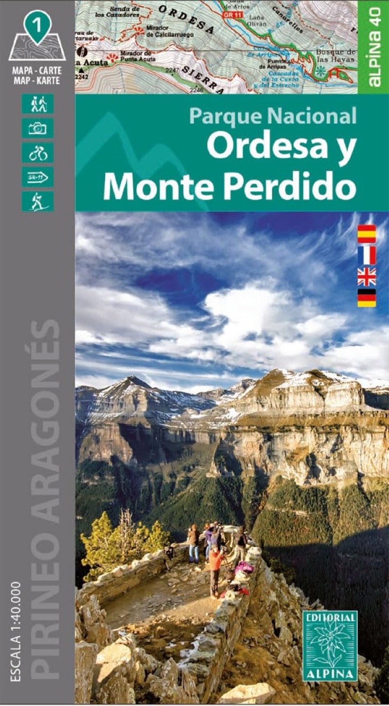
Parque Nacional de Ordesa y Monte Perdido Outdoor Recreation Map
Parque Nacional de Ordesa y Monte Perdido Outdoor Recreation Map
Regular price
$15.95 USD
Regular price
Sale price
$15.95 USD
Unit price
per
Shipping calculated at checkout.
Couldn't load pickup availability
- SKU: EAL_PNR_OMP_24
Discover the breathtaking beauty of Spain's Ordesa and Monte Perdido National Park with this detailed 1:40,000 scale topographic map. Designed for hikers, adventurers, and nature lovers, this map offers a comprehensive overview of the entire park while preserving intricate details for on-the-ground navigation.
Explore all five iconic valleys—Ordesa, Pineta, Añisclo, Escuaín, and Bujaruelo—each offering access to a stunning array of natural wonders. From cascading waterfalls and glacial cirques to scenic trails and legendary peaks like Monte Perdido (soaring above 3,000 meters), this map is your essential companion for planning unforgettable outdoor excursions.
Features:
- Map Language: Spanish, French, English, German
- Scale 1:25.000
- Shaded Relief
- Equidistance contours: 10 m distance
- Master contours: at 50 m
- Full-park coverage with high precision
- Trail access to waterfalls, peaks, and panoramic viewpoints
- Ideal for hiking, trekking, and nature exploration
- Perfect for planning your next adventure or as a gift for outdoor enthusiasts.
- Type: Folded Map
- Subtype: Hiking
- Language: English, French, German, Spanish
- Publication Date: 2024-06-01
- Scale: 1:25,000
- Regions Covered: Europe, Western Europe
- Countries Covered: Spain
- ISBN: 9788480909990
- MPN: ALPI.152-E25
- Folded Size: 4.72" (W) x 7.48" (H)
- Unfolded Size: 23.62" (W) x 36.22" (H)
- Weight: 5.5 oz