USSR Ministry of Defense
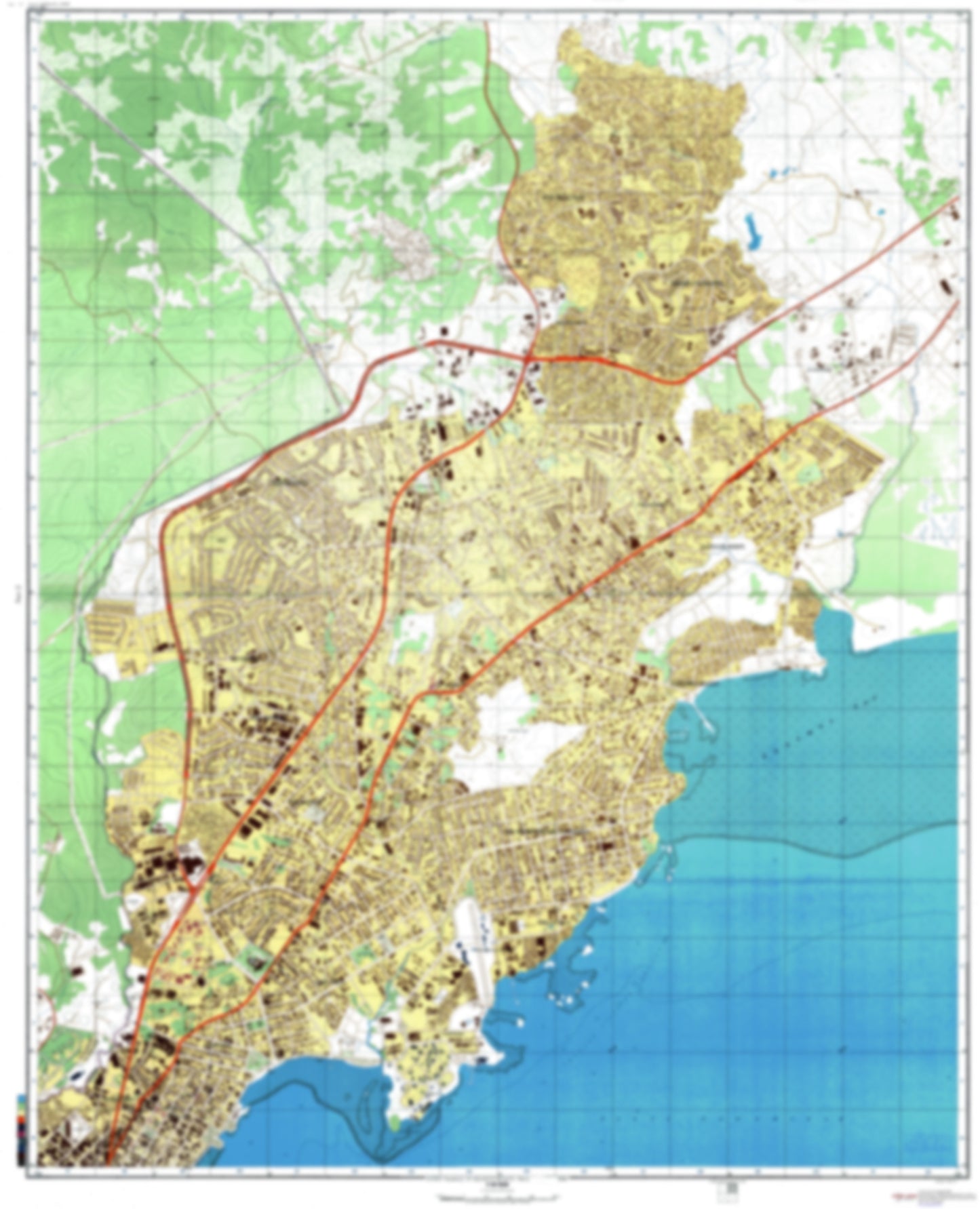
Panama City 2 (Panama) - Soviet Military City Plans
Panama City 2 (Panama) - Soviet Military City Plans
Regular price
$49.95 USD
Regular price
Sale price
$49.95 USD
Unit price
per
Shipping calculated at checkout.
Couldn't load pickup availability
- SKU: SUAA-PANAMA2-P
- During the Cold War and before easy access to high-resolution satellite imagery, The Soviet Military was secretly mapping the entire world. These aesthetically striking maps are beautiful down to the last detail and fantastic wall art and until now, have rarely been viewed or available to outsiders. This series has been covered by Wired Magazine and Greg Miller in his book, "All Over the Map: A Cartographic Odyssey". This map is part of the Soviet City Plans Series presented by East View, which has the largest collection of Soviet Military City Plans in the world. The Soviet Military City Plan(s) of Panama City 2 (Panama) is one in a series of highly detailed topographic city maps developed by the USSR Ministry of Defense during the Cold War era. These collectable, high resolution print-on-demand editions are delivered on premium, acid-free, matte paper. This item is sheet number 2 in a set of 4 sheet(s) for Panama City Populated Places: Distrito de San Miguelito, Llano Largo, Los Algarrobos, Matias Hernandez, San Miguelito Parks and Reservations: Parque Alto La Pulida, Parque de San Cristobal, Parque Recreativo Omar Landmarks and Natural Features: Playa Bella Vista, Punta Paitilla, Universidad Latina de Panama
- Subtype: City Plan
- Language: Russian
- Publication Date: 1982-06-01
- Scale: 1:10,000
- Countries Covered: Panama
- MPN: PANAMA2
- Folded Size: N/A
- Unfolded Size: 33.6" (W) x 41.5" (H)
- Weight: 4.8 oz