1
/
of
1
Dimap Bt
Padis hiking map
Padis hiking map
Regular price
$9.90 USD
Regular price
Sale price
$9.90 USD
Unit price
/
per
Shipping calculated at checkout.
Low stock
Couldn't load pickup availability
- SKU: DIM_PAD_23
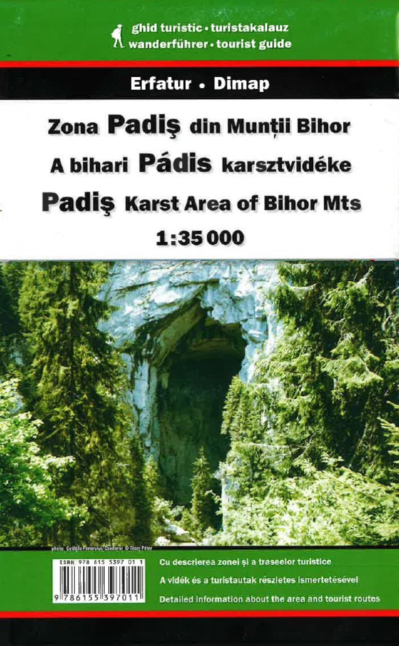
- Padis area at 1:30,000 in a series of detailed contoured maps covering popular hiking areas of Transylvania published by Dimap, one of Hungary’s leading publishers specializing in mapping of that region. The maps show local hiking routes and provide tourist information such as campsites, places of interest, etc. Many titles include street plans and/or English language descriptions of recommended hiking trails. *In this title:* hiking map with contours at 50m intervals, highlighting several local footpaths and trails indicating their waymarking signs. Symbols show local hotels, campsites, and mountain huts, springs and waterfalls, caves and rock faces, places of interest, etc. Three small insets show the Galbenei and Somesului Cald gorges and the Ponorului depression at enlarged scales. The map has no geographical coordinates. On the reverse is a black and white road map at 1:400,000 showing the surrounding region and notes, in Hungarian and German only, describing the area and the various hiking routes. *Map legend includes English.*
- Type: Folded Map
- Subtype: Tourist
- Language: English, Hungarian
- Publication Date: 2023-06-01
- Scale: 1:30 000
- Regions Covered: Eastern Europe, Europe
- Countries Covered: Romania
- ISBN: 9786155397011
- Folded Size: N/A
- Unfolded Size: N/A


