1
/
of
1
Fine Edge
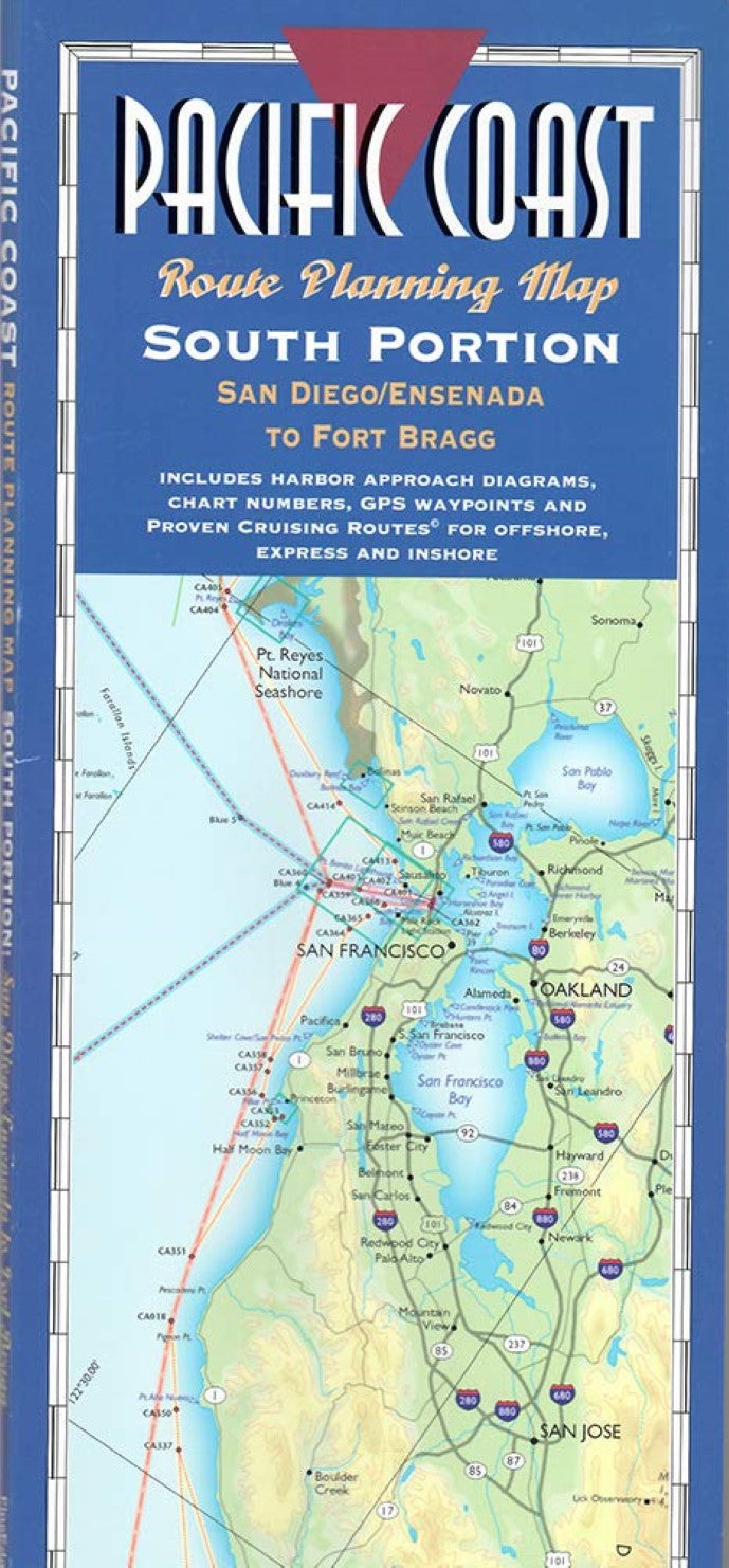
Pacific Coast : route planning map : south portion : San Diego/Ensenada to Fort Bragg
Pacific Coast : route planning map : south portion : San Diego/Ensenada to Fort Bragg
Regular price
$19.95 USD
Regular price
Sale price
$19.95 USD
Unit price
/
per
Shipping calculated at checkout.
Couldn't load pickup availability
- SKU: FE_PAC_COAS_S_3
- Includes over 500 places to tie up and anchor with three of our Proven Cruising Routes (c) - Offshore, Express and our "one foot on the beach", harbor hopping inshore route. Descriptions include geographical locations, nautical chart numbers, and nearly 6,000 GPS waypoints. Includes index and 31 harbor approach diagrams. Contains main coastal map and insets of islands Santa Cruz, Northern Channel, Anacapa, and Santa Catalina.
- Type: Folded Map
- Subtype: Park
- Language: English
- Publication Date: 2003-06-01
- Scale: 1:688,600
- Regions Covered: North America, Western U.S.
- Countries Covered: United States
- States Covered: California
- ISBN: 9780938665946
- Folded Size: 5.31" (W) x 12.2" (H)
- Unfolded Size: 63.98" (W) x 24.02" (H)
- Weight: 3.5 oz


