Alan Godfrey Maps
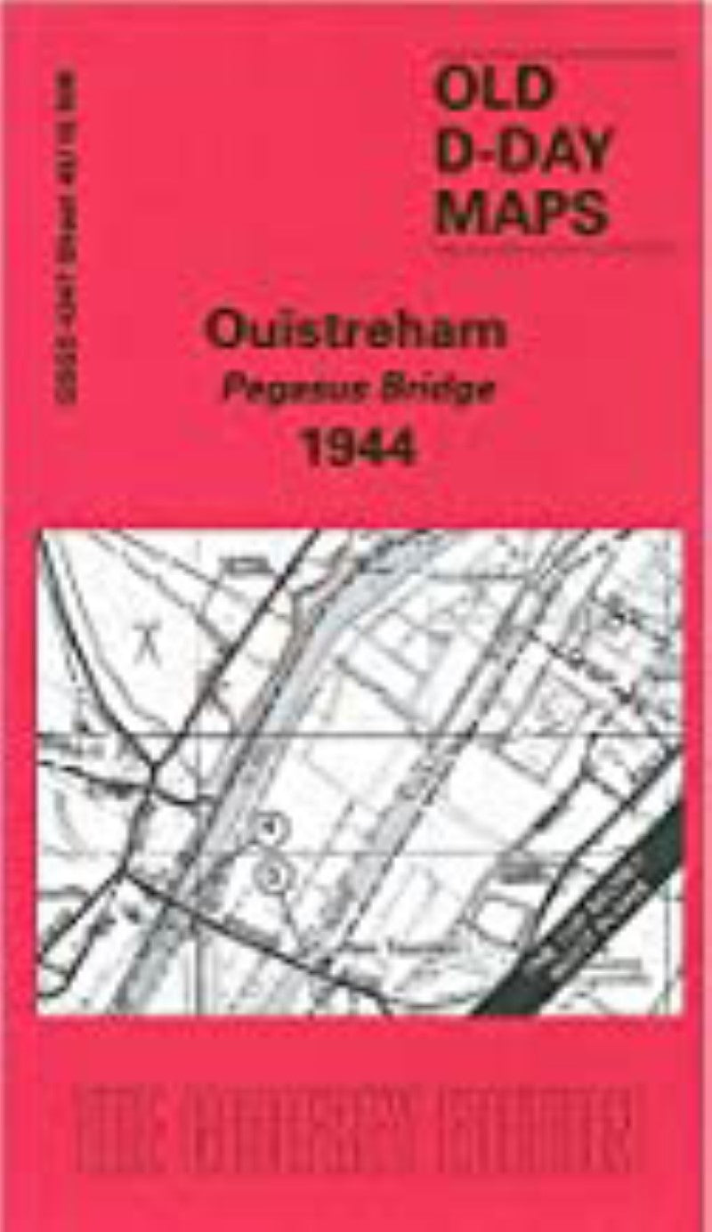
Ouistreham Pegasus Bridge 1944 - Old Ordnance Survey Map (GSGS 4347 Sheet 40/16 NW)
Ouistreham Pegasus Bridge 1944 - Old Ordnance Survey Map (GSGS 4347 Sheet 40/16 NW)
Regular price
$12.95 USD
Regular price
Sale price
$12.95 USD
Unit price
per
Shipping calculated at checkout.
Low stock
Couldn't load pickup availability
- SKU: AGM_OUIS_1944_7
- The Godfrey editions are a modern printing of old large-scale Ordnance Survey maps, this one originally from 1944 covering the area of Ouistreham Pegasus Bridge.
- Type: Folded Map
- Subtype: Historical
- Language: English
- Publication Date: 2007-06-01
- Regions Covered: Europe, Western Europe
- Countries Covered: France
- ISBN: 9781841516257
- Folded Size: 8.5" (W) x 5" (H)
- Unfolded Size: 16.5" (W) x 23.5" (H)
- Weight: 1 oz