1
/
of
1
Freytag & Berndt
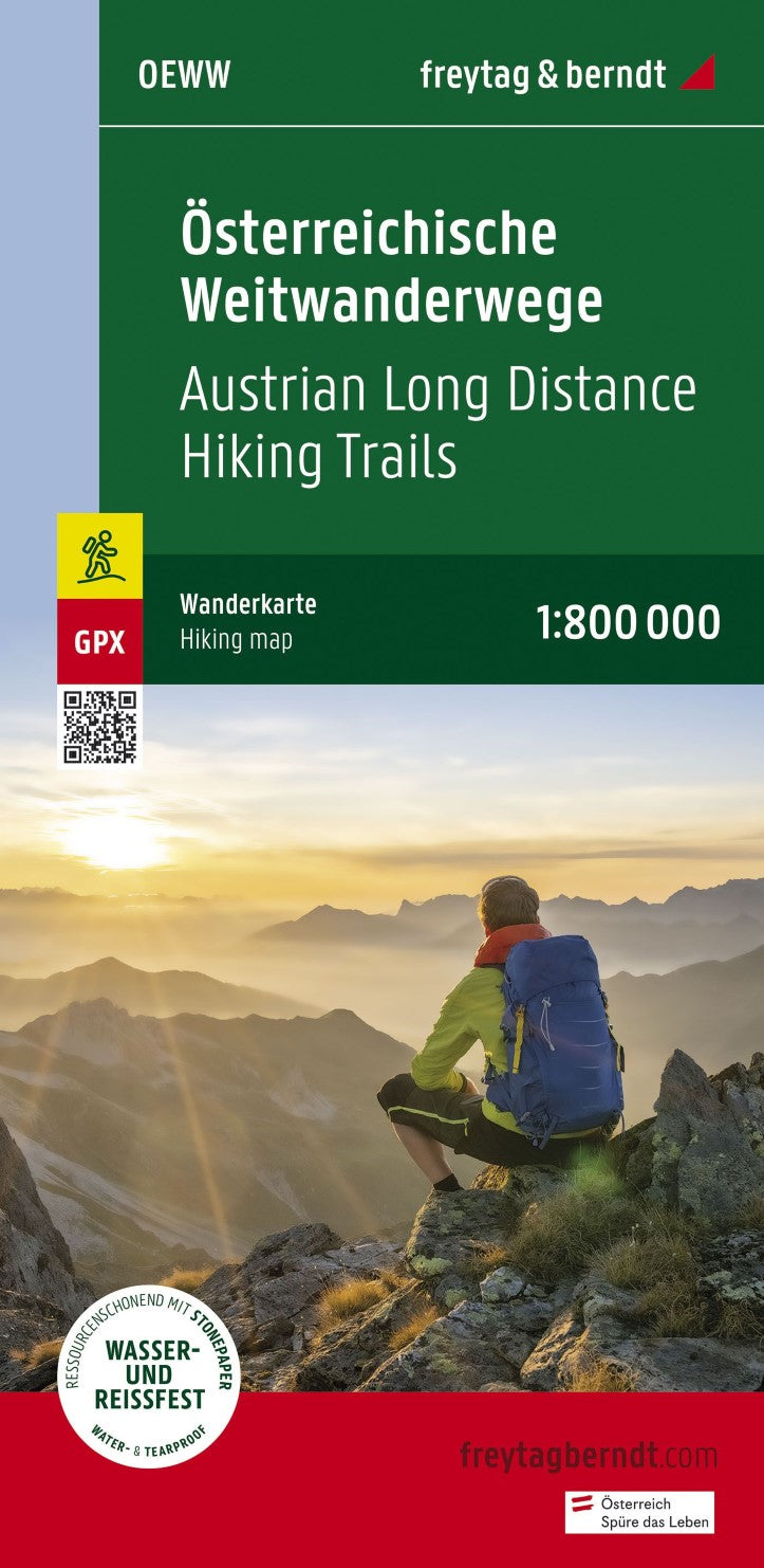
Österreichische Weitwanderwege, Wanderkarte 1:800.000, freytag & berndt = Austrian long -distance hiking trails, hiking map 1:800,000
Österreichische Weitwanderwege, Wanderkarte 1:800.000, freytag & berndt = Austrian long -distance hiking trails, hiking map 1:800,000
Regular price
$19.95 USD
Regular price
Sale price
$19.95 USD
Unit price
/
per
Shipping calculated at checkout.
Low stock
Couldn't load pickup availability
- SKU: FB_A_LONG_HIKE_22
- Overview map for the Austrian long hiking trails with an overview of length as well as the start and target point. Format: 41 x 90 cm. Ideal for planning the next long -distance hike! 01 Nordalpenweg 02 Zentralalpenweg 03 Südalpenweg 04 Voralpenweg 05 North-Süd-Weg 06 Mariazellerwege 07 Eastern Austrian Grenzlandweg 08 Eisenwurzenweg 09 Salzsteigweg 10 Rupertiweg Waterproof and tear-resistant so that the map can also be used for orientation on rainy days, it is on a special waterproof and resistant paper printed. The map is made of 80 % of ground limestone. The production is much more resource -friendly than with conventional paper because the consumption of water, wood and energy is significantly lower.
- Type: Folded Map
- Subtype: Hiking
- Language: German
- Publication Date: 2017-04-14
- Scale: 1:800000
- Regions Covered: Central Europe, Europe
- Countries Covered: Austria
- ISBN: 9783707920574
- MPN: OEWW-22
- Folded Size: 3.93" (W) x 8.06" (H)
- Unfolded Size: 3.93" (W) x 8.06" (H)
- Weight: 1.76 oz


