1
/
of
1
Route Master
Ontario : bicycle touring atlas
Ontario : bicycle touring atlas
Regular price
$34.95 USD
Regular price
Sale price
$34.95 USD
Unit price
/
per
Shipping calculated at checkout.
Low stock
Couldn't load pickup availability
- SKU: RMM_ON_CYC_AT_12
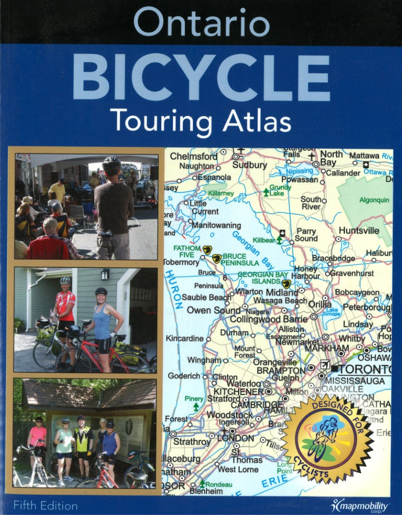
- The Ontario Bicycle Touring Atlas is a detailed atlas of Ontario's backroads, highlighting cycling routes throughout the province. These routes were developed over the course of a decade, selecting quiet scenic roads throughout Ontario. Routes have been selected based on the experience of Bike On Tours, responding to requests for routes through various areas. There are long distance linear routes as well as looping routes suitable for day trips or weekends. Features: Niagara Falls and the Niagara Parkway; Wineries in Niagara; Lake Erie's North Shore and Prince Edward County; First Nations communities including Six Nations, Kettle Point, Alderville and Garden River; French Canadian Communities in eastern Ontario and Chatham - Kent; Mennonite Communities in Waterloo Region and area; Ontario's last remaining covered bridge at West Montrose; Attractions, theatres and festivals. The routes are mostly paved scenic secondary roads & bike paths where available .Bike route connections across Ontario from all United States, Quebec and Manitoba border crossings. There are also suggestions for nearby restaurants, accommodation and camping in the comprehensive community index.
- Type: Paperback Atlas
- Subtype: Popular/Travel
- Language: English
- Scale: 1:250,000
- Regions Covered: North America
- Countries Covered: Canada
- States Covered: Ontario
- ISBN: 9781894955218
- Folded Size: N/A
- Unfolded Size: 11.02" (W) x 8.66" (H)
- Weight: 17.7 oz


