Raven Maps
Ohio Land Cover Fine Art Print Map
Ohio Land Cover Fine Art Print Map
Regular price
$95.00 USD
Regular price
Sale price
$95.00 USD
Unit price
per
Shipping calculated at checkout.
Couldn't load pickup availability
- SKU: PODRP_OH_LC_28x30_WA
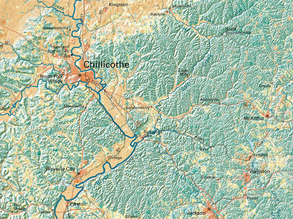
The Ohio River drainage extends from the eastern escarpments of the Appalachians to the Mississippi Delta, spanning the forested eastern third of the country and reaching the farmland core of the mid-continent. Cities merge into unbroken stretches commonly over 50 miles long, and sometimes several times that. Pine belts divide areas of more productive soils along the southern flanks of the Appalachians. Farming is more prominent in those areas, as along the Great Valley and its offshoots from Alabama to the Connecticut, and between the Ohio and the Cumberland.
Dimensions: All map dimensions are approximate.- Type: Flat Map
- Subtype: Wall Art
- Language: English
- Regions Covered: Midwest, North America
- Countries Covered: United States
- States Covered: Ohio
- UPC: 767020014003
- MPN: ohio-land-cover-map
- Folded Size: N/A
- Unfolded Size: 28" (W) x 30" (H)
- Finish: Regular Paper