Ordnance Survey (Ireland)
Official Ireland Road Atlas
Official Ireland Road Atlas
Regular price
$32.99 USD
Regular price
Sale price
$32.99 USD
Unit price
per
Shipping calculated at checkout.
Low stock
Couldn't load pickup availability
- SKU: IOS_IRE_AT_25
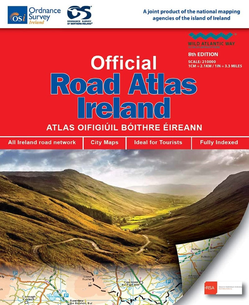
This edition contains updated road maps covering Ireland, plus City and Town Maps and Motoring Information, Distance Charts and Extensive Gazetteer (Index of Towns). This new 8th edition is published in conjunction with Ordnance Survey Northern Ireland and the Road Safety Authority (RSA) and features Collision Zones, Speed Detection Zones and Tolled Roads. (This product is produced with the co\-operation of Ordnance Survey Northern Ireland, OSNI).
- Type: Spiral Bound Atlas
- Subtype: Popular/Travel
- Language: English
- Publication Date: 2025-06-01
- Scale: 1:210,000
- Regions Covered: British Isles, Europe
- Countries Covered: Ireland
- ISBN: 9781912140473
- MPN: OSI.01
- Folded Size: N/A
- Unfolded Size: 9" (W) x
- Weight: 17.6 oz