1
/
of
1
Great Pacific Recreation & Travel Maps
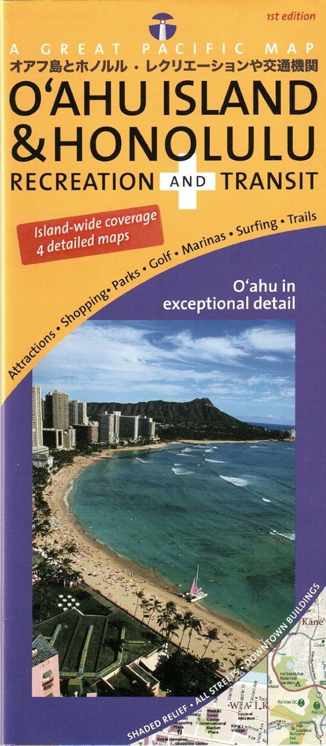
O'ahu Island & Honolulu : recreation and transit : a great pacific map
O'ahu Island & Honolulu : recreation and transit : a great pacific map
Regular price
$7.95 USD
Regular price
Sale price
$7.95 USD
Unit price
/
per
Shipping calculated at checkout.
Couldn't load pickup availability
- SKU: GPR_OAHU_8
- 4 Maps in One: Full island, Greater Honolulu, Waikiki/ Downtown Honolulu & University of Hawaii at Manoa campus map Large-Scale Maps: Concise, clear and colorful Attractive shaded relief beautifully depicts the spectacular varied topography of the island Outstanding Cartography: All-new, highly legible, color-coded mapping from Dennis McClendon at Chicago CartoGraphics, includes every street on Oahu! Transit System Overview: The comprehensive bus network of Oahu, The Bus, reaches the far corners of the island. Easy-to use system diagram shows all bus routes with frequent service Comprehensive Indexing: Recreational destination categories include Accommodations (Downtown & Waikiki), Attractions, Beaches & Beach Parks, Boating & Kayaking, Gardens, Golf Courses, Museums & Historic Places, Parks, Campgrounds & Recreation Areas, Performing Arts Theatres & Venues, SCUBA Diving Spots, Snorkeling Spots, Shopping, Spectator Sports Venues, Surfing Spots, Trails & Trailheads, Viewpoints & Lookouts, Visitor Info Centers, Waterfalls & Scenic Rivers, plus Zoos & Aquariums Scenic Routes clearly highlighted.
- Type: Folded Map
- Subtype: Travel
- Language: English
- Publication Date: 2008-06-01
- Scale: Scales differ
- Regions Covered: North America, Pacific U.S.
- Countries Covered: United States
- States Covered: Hawaii
- ISBN: 9780938011675
- Folded Size: 3.94" (W) x 9.06" (H)
- Unfolded Size: 35.83" (W) x 26.77" (H)
- Weight: 2.3 oz


