1
/
of
1
Saga Maps
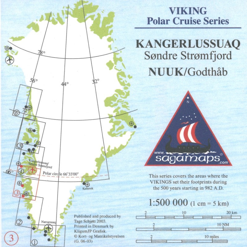
Nuuk til Kangerlussuaq, Viking Polar Cruise Series Map #3
Nuuk til Kangerlussuaq, Viking Polar Cruise Series Map #3
Regular price
$32.99 USD
Regular price
Sale price
$32.99 USD
Unit price
/
per
Shipping calculated at checkout.
Low stock
Couldn't load pickup availability
- SKU: SAG_VIK_KANGER_3
- 1:500,000 - This series was later published as the Viking Polar Cruise Series and was originally published for the increasing cruise traffic: The entire stretch Nunap Issua/Kap Farvel to Upernavik District No. 1-6. Later with no. 2½ to get Nuuk/Godthåb in the center of a map. Most recently, Thule no. 7 and the stretch on the east coast Nunap Isua/Kap Farvel to Daneborg no. 8-12 have now been published. The cards are available in many different editions, just like the red series. In addition, the maps can be packed in sets with guides and Greenland maps as required. Blue series today consists of 13 cards.
- Type: Folded Map
- Subtype: General Topographic
- Language: Danish
- Publication Date: 2003-06-01
- Scale: 1:370,000
- Regions Covered: Europe, North Atlantic Ocean
- Countries Covered: Greenland
- Folded Size: 4.5" (W) x 9.75" (H)
- Unfolded Size: 27.5" (W) x 19.5" (H)
- Weight: 3 oz


