Kiwi Maps
Northland & Wangarei Provicial Town Maps
Northland & Wangarei Provicial Town Maps
Regular price
$13.95 USD
Regular price
Sale price
$13.95 USD
Unit price
per
Shipping calculated at checkout.
Low stock
Couldn't load pickup availability
- SKU: KIWI_NL_WHA_24
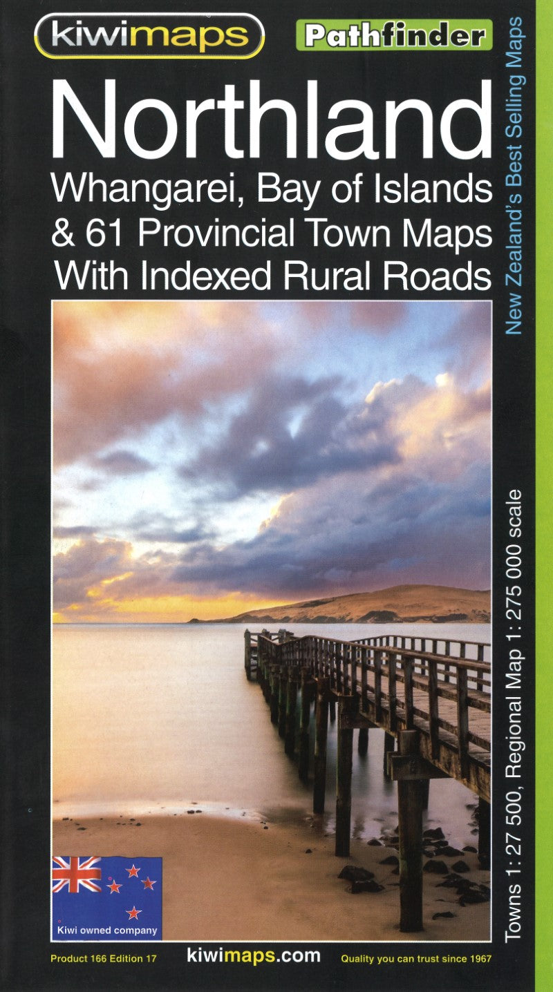
- Northland region at 1:275,000 in a series of maps covering various districts of New Zealand, with each title combining a detailed road map with street plans of local towns, all with road and street indexes. The maps are published in two formats: handy Pocket Maps or Pathfinders with, as the publishers put, it “Larger print so you don’t squint”. The map of Northlands covers the northern part of North Island, extending south to Auckland. An enlargement shows the Bay of Islands towns in greater detail at 1:35,000. On the reverse are panels with street plans of 61 local towns. Separate indexes are provided for the main map, the Bay of Islands enlargement and for each of the towns shown on the street plans. Maps in the series, typically around 1:175,000 - 1:275,000, show local roads and 4WD tracks. Main sightseeing routes across the country, such as the Pacific Road Highway or Thermal Explorer Highway, are identified by small icons. Railways, local airports and where appropriate, ferry routes are shown. The maps also include selected local hiking tracks. A range of symbols highlight various places of interest and sport or recreational facilities. Topography is indicated by names of mountain ranges and selected peaks. Colouring shows forested areas, with national parks and reserves highlighted. The maps have no geographical coordinates but each one has an index listing names of local roads. Each title also includes numerous street plans of the main centres of population in the area covered by the road map. The plans are usually at 1:25,000 to 1:35,000, and for larger towns an enlargement of the town centre is also provided. The plans shows one way streets, public buildings and various facilities, including sport and recreational centres and, almost invariably, public toilets. Each plan has a separate street index.
- Type: Folded Map
- Subtype: Road
- Language: English
- Publication Date: 2024-01-01
- Regions Covered: Australasia, Oceania, Pacific Ocean
- Countries Covered: New Zealand
- ISBN: 9415871000911
- MPN: 166
- Folded Size: 5.51" (W) x 9.84" (H)
- Unfolded Size: 27.56" (W) x 39.37" (H)
- Weight: 4 oz