1
/
of
1
Adventure Cycling Association
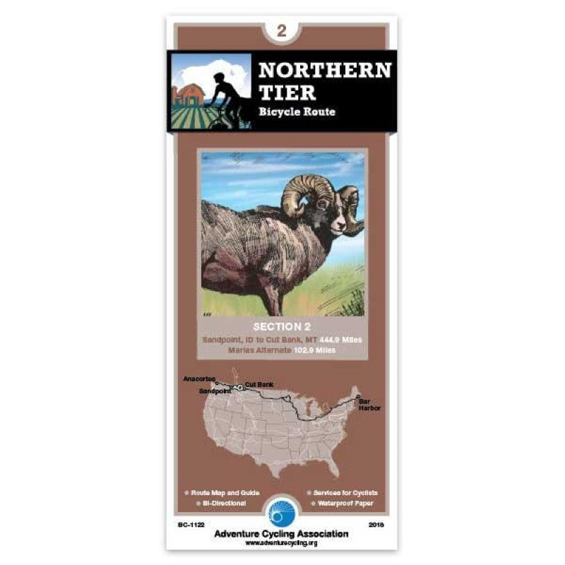
Northern Tier Bicycle Route #2
Northern Tier Bicycle Route #2
Regular price
$16.75 USD
Regular price
Sale price
$16.75 USD
Unit price
/
per
Shipping calculated at checkout.
Low stock
Couldn't load pickup availability
- SKU: ADCY_BC_1122_18
- SR 200 east of Sandpoint carries both recreational and commercial traffic so ride it cautiously. In Montana, the route uses either state or U.S. highways to Eureka. Most of the logging is done in this corner of the state; the scenery is beautiful but expect to encounter logging trucks. Traffic along Lake Koocanusca in minimal. U.S. 93, which the route uses from Eureka to Whitefish, can have moderate to heavy traffic since it's a main thoroughfare into Canada. The route northeast of Columbia Falls includes a few miles of gravel, but avoids some of the hectic tourist traffic on U.S. 2 near Glacier National Park. Glacier Park traffic is heavy during the summer. Going-to-the-Sun Road between West Glacier and St. Mary is closed to all traffic from about Sept. 30 to June 15. On the east side of the Continental Divide the route heads into Canada and a spur goes to Waterton Lakes National Park. Once out on the plains the route returns to the U.S. and ends in Cut Bank.; ; ; ABOUT ADVENTURE CYCLING MAPS ; Adventure Cycling maps are created by cyclists, for cyclists, and they are some of the best available for those in search of discovery and adventure in North America. The maps reflect the association's research as well as suggestions from thousands of cyclists who have explored the Adventure Cycling Route Network. Adventure Cycling develops the best cross-country, loop, coastal, and inland cycling routes available, with turn-by-turn directions, detailed navigational instructions for the tricky sections, and elevation profiles in the high country. ; ; The maps are waterproof and designed to fit in a handlebar-bag window or jersey pocket. The maps provide information specifically for cyclists: the location of bike shops, sources for food and water, and listings of overnight accommodations including camping facilities, small hotels, and cyclists-only lodging.
- Type: Folded Map
- Subtype: Bicycling
- Language: English
- Publication Date: 2018-03-01
- Scale: 1:250,000
- Regions Covered: North America, North-central U.S./Great Plains
- Countries Covered: United States
- States Covered: Idaho, Montana
- ISBN: 9780935108057
- MPN: BC1122
- Folded Size: 3.75" (W) x 8.25" (H)
- Unfolded Size: 18" (W) x 24" (H)
- Weight: .1 lb


