Reise Know-How Verlag
Northern Italy
Northern Italy
Regular price
$14.95 USD
Regular price
Sale price
$14.95 USD
Unit price
per
Shipping calculated at checkout.
Couldn't load pickup availability
- SKU: RKH_I_N_17
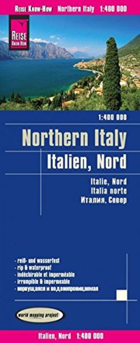
- Northern Italy at 1:400,000 on a light, waterproof and tear-resistant, indexed road map with topographic and tourist information. The map, part of Reise Know-How’s highly acclaimed World Mapping Project, is double-sided to provide the best balance between a good scale and a convenient size sheet. Coverage on the eastern half extends beyond Florence to Livorno and Ancona. In Trentino – Alto Adige, where appropriate, bilingual place names are given for both towns and villages and for geographical features. Topography is shown by altitude colouring with spot heights and plenty names of mountain and hill ranges, peaks, valleys, etc. National parks area highlighted. Road network, including small local roads, is very clearly presented and gives driving distances on main routes. Railway lines are included and domestic airports are marked. Symbols indicate important places of interest, including the region’s numerous UNESCO World Heritage sites. The map has latitude and longitude lines at 30’ intervals and an extensive index. Map legend includes English. ”World Mapping Project” is an extensive series of maps at varying scales, aiming to provide coverage of countries and regions worldwide using clear, well presented cartography with both topographic and tourist information.
- Type: Folded Map
- Subtype: Road
- Language: English, French, German, Italian, Russian
- Publication Date: 2017-06-01
- Scale: 1:400,000
- Regions Covered: Alps, Europe, Western Europe
- Countries Covered: Italy
- ISBN: 9783831772858
- Folded Size: 4.53" (W) x 10.24" (H)
- Unfolded Size: 39.76" (W) x 27.56" (H)
- Weight: 2.8 oz