1
/
of
1
British Antarctic Survey
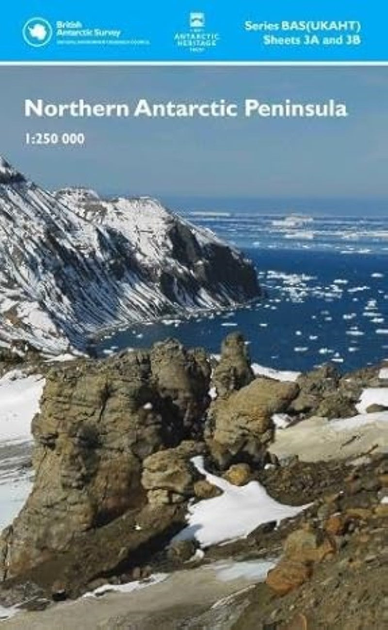
Northern Antarctic Peninsula Map
Northern Antarctic Peninsula Map
Regular price
$24.95 USD
Regular price
Sale price
$24.95 USD
Unit price
/
per
Shipping calculated at checkout.
Low stock
Couldn't load pickup availability
- SKU: BAS_N_ANTARCTIC_PEN_17
- This double-sided map provides an overview of the northern part of the Antarctic Peninsula. It covers the area between Joinville Island and Hughes Bay, including James Ross and Snow Hill islands and the northern limit of the Larsen Ice Shelf on the east coast. It connects to map BAS/UKAHT 2 to give full coverage of the northern Antarctic Peninsula as far south as Adelaide Island. The two maps show topographic detail with a Landsat 8 satellite image mosaic backdrop. The maps include: Coastline; elevation information as contours and selected mountain summit heights; UK place names; scientific research stations; Historic Sites and Monuments (HSMs) and Antarctic Specially Protected Areas (ASPAs).
- Type: Folded Map
- Subtype: Travel
- Language: English
- Publication Date: 2017-06-01
- Scale: 1:250,000
- Regions Covered: Antarctica
- Countries Covered: Antarctica
- ISBN: 9780856652127
- Folded Size: 13.5" (W) x 22.5" (H)
- Unfolded Size: 89" (W) x 75" (H)


