Ordnance Survey
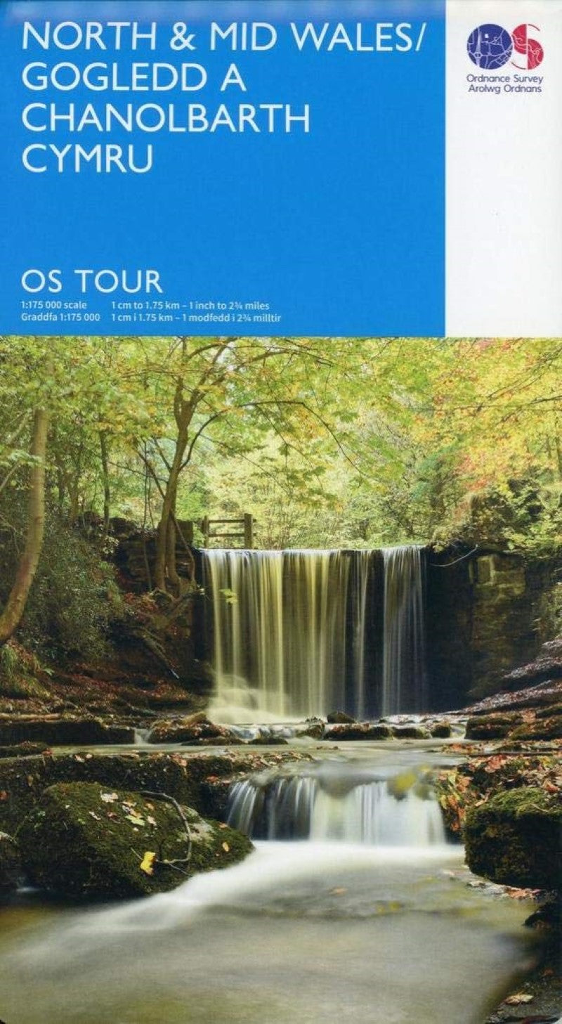
North & Mid Wales Map
North & Mid Wales Map
Couldn't load pickup availability
- SKU: OS_T_10_19
The OS Tour Map series is a must for anyone visiting Britain's most popular holiday destinations. These maps are packed with essential tourist information - from the best beaches to rural pubs, designed specifically with Tourists in mind. All county boundaries are clearly marked and as well as showing motorways and main roads, the maps also pinpoint many minor roads, national & regional cycle routes.
OS Tour map 10 covers North and Mid Wales. The Tour and Tourist series road maps are packed with information to help you get out and make the most of your holiday. Showing roads, towns, villages and important features at 1:175k scale, they are ideal for driving, long-distance cycling and finding discovering those hidden places.
- Type: Folded Map
- Subtype: Travel
- Language: English
- Publication Date: 2019-02-13
- Scale: 1:175,000
- Regions Covered: British Isles, Europe
- Countries Covered: United Kingdom
- States Covered: Wales
- ISBN: 9780319263600
- Folded Size: 5" (W) x 9.45" (H)
- Unfolded Size: N/A
- Weight: 4 oz