1
/
of
1
Hema Maps
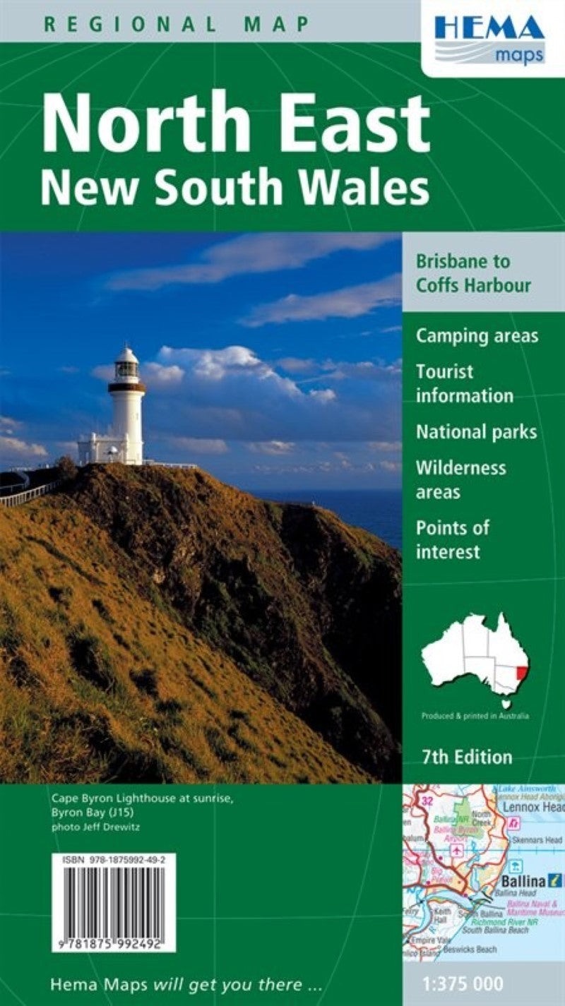
North East New South Wales : regional map
North East New South Wales : regional map
Regular price
$10.95 USD
Regular price
Sale price
$10.95 USD
Unit price
/
per
Shipping calculated at checkout.
Low stock
Couldn't load pickup availability
- SKU: HEMA_NSW_NE_10
- The map covers the east coast from just south of Coffs Harbour north to Brisbane and west to Inverell. Extensive tourist information and photographs are provided on the area, every point of interest highlighted, and a matrix details all of the facilities available in the National Parks. The map features: Camping Areas Tourist Information National Parks Wilderness Areas Points of Interest The map also includes a Granite Belt (Queensland) map showing local wineries plus an index to national parks on the reverse side.
- Type: Folded Map
- Subtype: Road
- Language: English
- Publication Date: 2010-06-01
- Scale: 1:375,000
- Regions Covered: Australasia, Oceania, Pacific Ocean
- Countries Covered: Australia
- States Covered: New South Wales
- ISBN: 9781875992492
- Folded Size: 5.51" (W) x 9.84" (H)
- Unfolded Size: 39.37" (W) x 27.56" (H)
- Weight: 3.2 oz


