Rand McNally
North Carolina : state map
North Carolina : state map
Regular price
$5.99 USD
Regular price
Sale price
$5.99 USD
Unit price
per
Shipping calculated at checkout.
Couldn't load pickup availability
- SKU: RM_NC_8
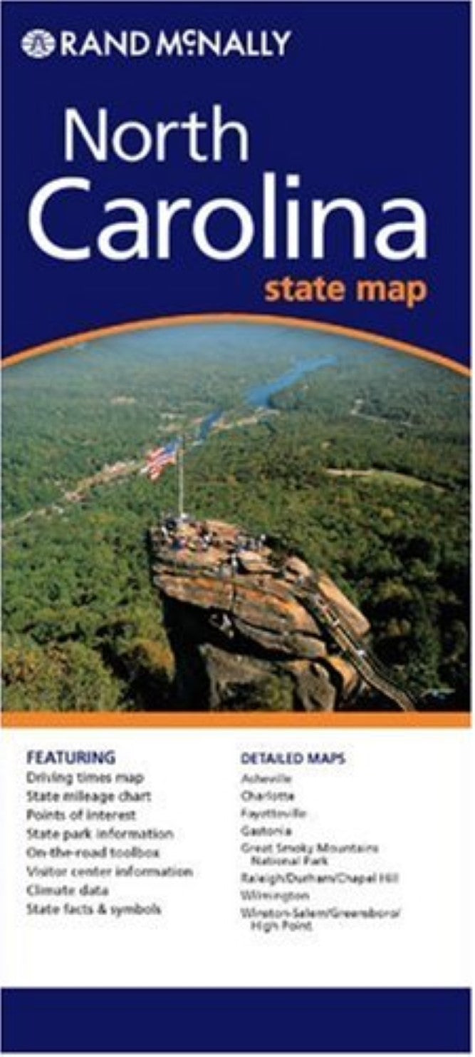
- State map of North Carolina. Includes additional detailed maps of Ashville, Charlotte & Vicinity, downtown Charlotte, Fayeteville, Hichory : the triad: Winston-Salem, Greensboro, High Point : the triangle: Raleigh, Durham, Chapel Hill, Wilmington : featuring distance chart, distances and driving times map, Great Smoky Mountains National Park, city and county index.
- Type: Folded Map
- Subtype: City Maps
- Language: English
- Publication Date: 2008-06-01
- Scale: 1:627,264
- Regions Covered: North America, Southern U.S.
- Countries Covered: United States
- States Covered: North Carolina
- ISBN: 9780528994807
- UPC: 070609994802
- Folded Size: 4.33" (W) x 9.45" (H)
- Unfolded Size: 40.16" (W) x 27.95" (H)
- Weight: 1.7 oz