Rand McNally
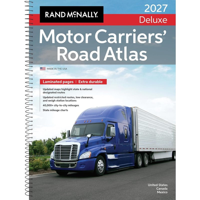
North America, 2027 Deluxe Motor Carriers' Road Atlas
North America, 2027 Deluxe Motor Carriers' Road Atlas
Couldn't load pickup availability
- SKU: RM_USA_MO_LAT_27
Laminated and spiral bound Motor Carriers’ Road Atlas for heavy-duty users
For more than 45 years, the Deluxe Motor Carriers' Road Atlas has earned a permanent place in the cabs of millions of professional drivers. The #1 selling trucker’s road atlas in North America is as tough as the rig you’re driving, with its laminated pages and spiral binding able to stand up to all the wear-and tear from the road. And, as always, it is produced by Rand McNally professionals and printed in the USA.
The atlas is a trusted source for detailed route planning, a comprehensive big-picture overview, and a dependable backup in the event of GPS outages. This is why the atlas continues to elicit five-star reviews for accuracy, dependability, and ease of use.
Road Specific Updates in the 2027 Edition Include:
- Interstate 295: Completed the Fayetteville Outer Loop on the North Carolina map.
- Interstates 343 & 644: Added new interstate designations to the Oklahoma map.
- Interstate 84 in Connecticut: Updated to reflect mileage-based exit numbers.
- U.S. Highway 15: Upgraded to Interstate 99 in Pennsylvania from Williamsport north to the New York State line.
- U.S. Highway 395: Added new 4-lane divided highway section west of Olancha, California.
- Autoroute 35: New limited access section (Phase 3) added in southern Québec near the Vermont border.
Additional Updated Features: - Fuel Tax Information: Essential for managing fuel expenses and tax reporting.
- Tractor/Trailer Inspection Procedures: Ensure compliance with safety standards.
- Hazmat Route Regulations: Updated tips, facts, and resources for transporting hazardous materials.
- Updated Restricted Routes and Low Clearances: Enhanced details to avoid obstacles and plan safe routes.
- Weigh Station Locations: Current information for checking compliance with weight regulations.
- Mileage Directory: A 22-page section with over 40,000 truck route-specific, city-to-city mileages.
- State and National Route Coverage: Comprehensive details on designated routes.
- Type: Spiral Bound Atlas
- Subtype: Popular/Travel
- Language: English
- Publication Date: 2026-06-17
- Scale: Scales differ
- Regions Covered: North America
- Countries Covered: Canada, Mexico, United States
- ISBN: 9780528029554
- UPC: 070609029559
- Folded Size: N/A
- Unfolded Size: 11.25" (W) x 15.5" (H)
- Weight: 3.25 oz