1
/
of
1
ODT Maps
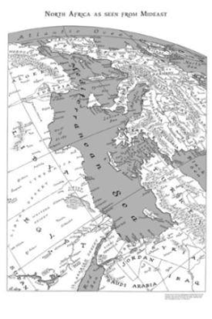
North Africa as seen from Mideast, 24" x 36"
North Africa as seen from Mideast, 24" x 36"
Regular price
$20.00 USD
Regular price
Sale price
$20.00 USD
Unit price
/
per
Shipping calculated at checkout.
Couldn't load pickup availability
- SKU: ODT_CON_NA_ME_SM_
- Hand-drawn by Russell Lenz in 1968 for publication in the prestigious Christian Science Monitor, this map is a view of the countries surrounding the Mediterranean Sea: North Africa on the left (Morocco, Algeria, Tunisia, Libya, and Egypt) and Spain, France, Italy, Yugoslavia, Greece and Turkey on the right. Seen as if one were viewing it from an orbiting space station, it features meticulously hand-drawn rivers and mountain ranges so you can understand the topography of the region.
- Type: Wall Map
- Subtype: Specialty
- Language: English
- Regions Covered: Africa, North Africa
- ISBN: 9781931057646
- Folded Size: N/A
- Unfolded Size: N/A
- Weight: 3 oz


