Kartforlaget
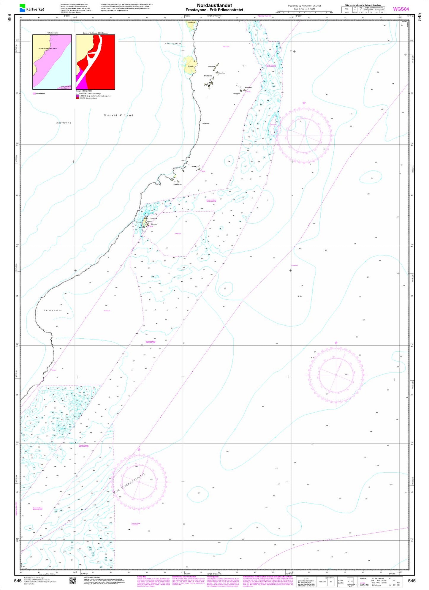
Nordaustlandet. Frostøyane – Erik Eriksenstretet - 545 - Norway Kartverket Nautical Charts
Nordaustlandet. Frostøyane – Erik Eriksenstretet - 545 - Norway Kartverket Nautical Charts
Regular price
$29.00 USD
Regular price
Sale price
$29.00 USD
Unit price
per
Shipping calculated at checkout.
Couldn't load pickup availability
- SKU: NOAC-545-P
- Nautical chart of 545 - Norway Nautical Charts (All Scales) with magnetic variation provided; Bathymetry by contours at intervals as small as 3 meters with spot depth in meters; shallow coastal water in blue; anchorages, lighthouses, buoys, wrecks, submerged and awash rocks, obstructions, submarine cables, islands, and islets shown; Larger-scale maps in the series show shore characteristics (sandy, rocky, cliffs), bridges, and harbor features (piers, wharfs, jetties, breakwaters); boundaries of territorial waters marked. Map language is English and Norwegian.
- Type: Flat Map
- Subtype: General Nautical
- Language: English, Norwegian
- Publication Date: 2025-06-01
- Scale: 1:100,000
- Countries Covered: Norway
- MPN: 545
- Folded Size: N/A
- Unfolded Size: N/A
- Weight: 16 OUNCES