1
/
of
1
United States Forest Service
Nez Perce (Nee-Me-Poo) National Historic Trail Map - Waterproof
Nez Perce (Nee-Me-Poo) National Historic Trail Map - Waterproof
Regular price
$19.99 USD
Regular price
Sale price
$19.99 USD
Unit price
/
per
Shipping calculated at checkout.
Low stock
Couldn't load pickup availability
- SKU: USFS_NEZ_HT_16
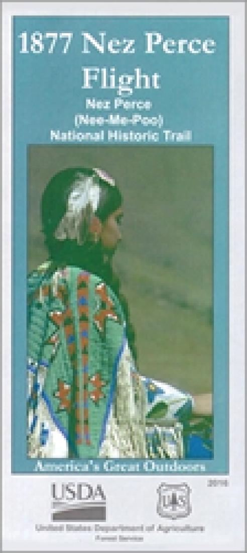
- Designated by Congress in 1986, the entire Nez Perce National Historic Trail stretches 1,170 miles from the Wallowa Valley of eastern Oregon to the plains of north-central Montana. The Nez Perce Flight of 1877 symbolizes the dramatic collision of cultures which continues to shape the West and its people. A native people were forced to flee their homelands in a futile attempt to avoid war and save their traditional ways. Immigrated European people found themselves fighting neighbors who had been their friends for many years. Traditional trails which had long been a source of joy and sustenance became a trail of flight and conflict, a trail of sorrow. One side of the map provides visitors with an overview of the entire Trail, including information on modern day travel routes and sites to visit along the Trail. The reverse side of the map gives a glimpse back in time and shows how the region looked in 1877. This side, done in shaded relief, not only shows the route followed by the Nez Perce people during the Flight of 1877, but also shows the boundaries of land traditionally used by the Nez Perce and the subsequent changes brought about by the treaties of 1855 and 1863. This side of the map also shows the routes used by the US Army in its pursuit of the non-treaty Nez Perce during the summer of 1877. For those who look and listen carefully, the trail stories still whisper in the winds. The trail memorializes not only those who died during the flight, but those who survived. Their tragic journey marked the end of freedom for the Nez Perce and opened their lands to settlement. Explore with this map and learn how the Nimiipuu, pursued by the army, made a hasty journey over this trail in 1877. See through their eyes. Feel the pain of leaving their homeland for uncertain future. Their example of fortitude and conviction is a model of the Nimiipuu today.
- Type: Folded Map
- Subtype: Park
- Language: English
- Publication Date: 2016-06-01
- Scale: 1:1,000,000
- Regions Covered: North America, North-central U.S./Great Plains
- Countries Covered: United States
- States Covered: Idaho
- ISBN: 9781628110128
- MPN: 233697
- Folded Size: 4.33" (W) x 9.06" (H)
- Unfolded Size: 29.92" (W) x 42.91" (H)
- Weight: 5.1 oz


