MapArt Publishing Corporation
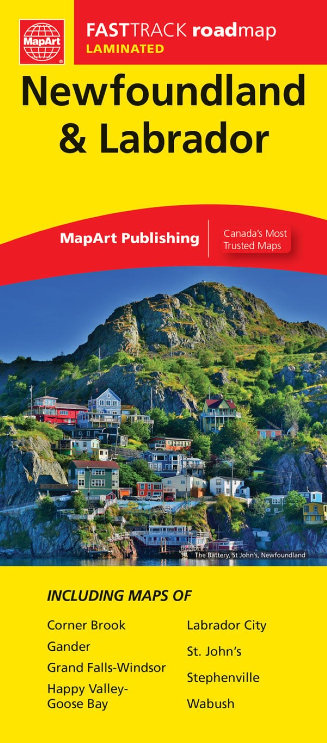
Newfoundland and Labrador Fast Track Laminated Map
Newfoundland and Labrador Fast Track Laminated Map
Couldn't load pickup availability
- SKU: CCC_NEW_LAB_FT_24
Laminated Map Fast Track maps are durable, convenient, and take all the wear and tear your journey can dish out. The laminated design allows you to mark your route, make notes, then wipe the surface clean for further use. The colour-coded highways and clear exit names make for quick and easy navigation. The map easily folds to display individual sections. This is a must-have for navigation.
The Newfoundland & Labrador FastTrack includes a provincial map of Newfoundland at 1:1,172,000 and Labrador at 1:3,392,000 along with a legend and place name index. Other maps include a more detailed Avalon and Bonavista Peninsulas at 1:550,000, New World Island inset at 1:352,000 and municipal maps at various scales including Corner Brook, Gander, Grand Falls, Happy Valley-Goose Bay, Labrador City, St. John’s, Stephenville, Wasbush and Windsor. Also featured is a downtown St. John’s map at 1:16,700 and a ferry listing.
The provincial map features include Trans-Canada Highway , divided highways, main highways, paved and gravel secondary highways, paved and gravel roads, unimproved roads, distances between points (km), ferries, , populations, capital, national parks / historic sites, provincial parks, wilderness reserves, tourist information centres, hospitals, airports, campgrounds and downhill skiing.
Dimensions: Folded: 11 x 24.8 cm (4.3125 x 9.75 inches) Unfolded: 65.4 x 49.5 cm (25.75 x 19.5 inches)
Proudly made in Canada!
- Type: Folded Map
- Subtype: Road
- Language: English
- Publication Date: 2024-03-01
- Scale: 1:984500
- Regions Covered: North America
- Countries Covered: Canada
- States Covered: Newfoundland
- ISBN: 9781554862726
- UPC: 061158012727
- MPN: 1272
- Folded Size: 3.94" (W) x 9.45" (H)
- Unfolded Size: 26.77" (W) x 39.37" (H)
- Weight: 1.8 oz


