1
/
of
1
Freytag & Berndt
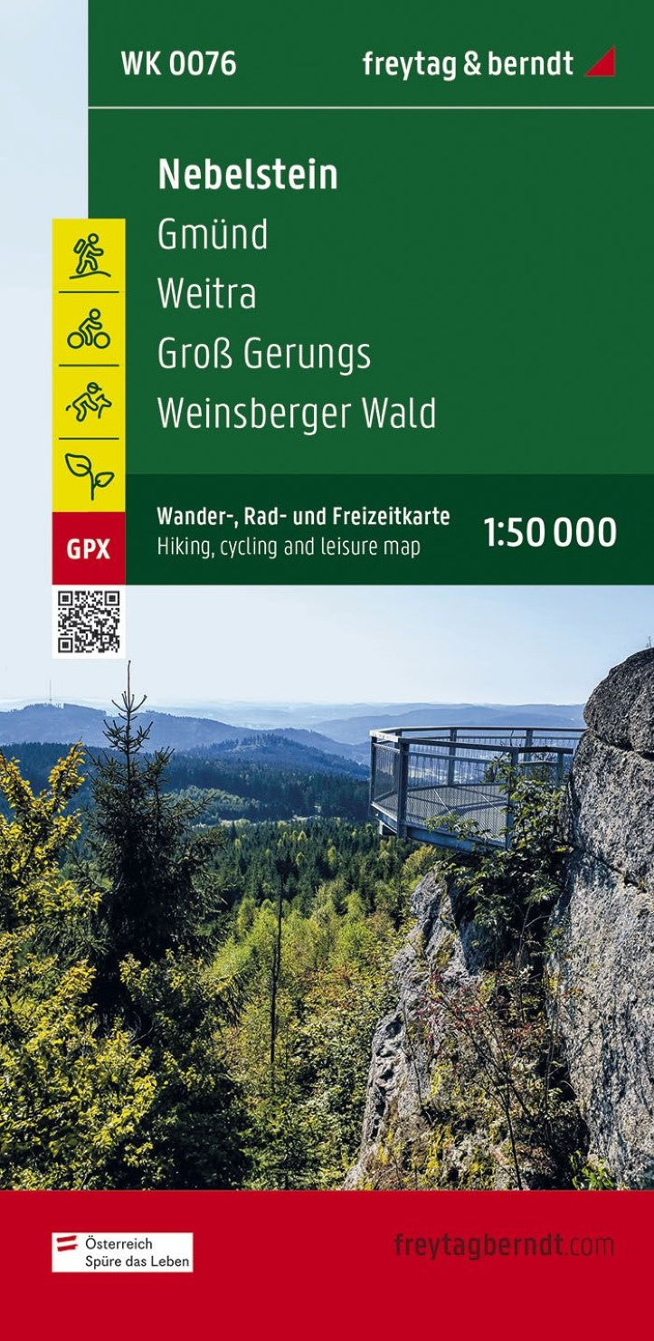
Nebelstein, hiking, bike and leisure map 1:50,000 WK 0076
Nebelstein, hiking, bike and leisure map 1:50,000 WK 0076
Regular price
$19.95 USD
Regular price
Sale price
$19.95 USD
Unit price
/
per
Shipping calculated at checkout.
Low stock
Couldn't load pickup availability
- SKU: FB_WK_50_76_22
- The hiking map Nebelstein on a scale of 1: 50,000 represents the ideal companion for excursions, hikes and bike tours into the regions of the Oberes Waldviertel, Waldviertel Mitte and Mühlviertler Alm Freistadt. The numerous regional hiking trails are through several long-distance and pilgrimage paths, including the path along the Lain seat, the castle and Schlösserweg, the Johannesweg and the life path. The hiking trails on the map are easy to track thanks to the exact cartography of Freytag & Berndt and the ideal scale. The hiking map Nebelstein is also very suitable for cyclists and mountain bikers. In addition to demanding mountain bikers routes, the course of the Waldviertel cycle path and parts of the Eurovelo 13 - Iron Curtain Trail can also be tracked. Information on the hiking map Nebelstein 1: 50,000 hiking and long-distance hiking trails bike paths and mountain bike tours Attractive excursion destinations with infoguide GPX tracks for download waterproof and tear-resistant 90 x 61 cm, double-sided infoguide "Kurz and compact" offers a foray through the regions Oberes Waldviertel and Mühlviertler Alm Freistadt. In addition, he presents the fog stone as a striking elevation in the Waldviertel, on which several (long) hiking trails start and others cross it or end on it. The landscapes of the Upper Waldviertel and lower Mühlviertel and the Waldviertel region are very similar to each other: it is hilly there, forest and full granite blocks that seem as if a giant have scattered them across the country. While the art of brewing is still committed in Weitra, Gmünd enchants through his impressive Sgraffito houses. Both in the Nordwald Nature Park and in the Klockheide Nature Park can let hikers wander and enjoy the multifaceted landscape. Many castles and castles are also worth a detour, such as the Rosenau Castle or the Rappottenstein Castle. For nature -loving, the Mühlviertler Alm Freistadt region is also a small paradise, where there are many viewing places along the hiking trails, and several small museums and pilgrimage churches have opened the goals for their visitors. Waterproof and tearproof so that the map can be used for orientation even on rainy days, it is printed on a special waterproof and resistant paper. The map is made of 80 % of ground limestone. The production is much more resource -friendly than with conventional paper, since the consumption of water, wood and energy is significantly lower.
- Type: Folded Map
- Subtype: Hiking
- Language: Czech, English, German
- Publication Date: 2022-10-03
- Scale: 1:50000
- Regions Covered: Central Europe, Europe
- Countries Covered: Austria
- ISBN: 9783707919370
- MPN: WK 0076
- Folded Size: 3.93" (W) x 8.06" (H)
- Unfolded Size: 3.93" (W) x 8.06" (H)
- Weight: 4.59 oz


