1
/
of
1
Saga Maps
Narsarsuaq - Taateraat hiking map
Narsarsuaq - Taateraat hiking map
Regular price
$29.99 USD
Regular price
Sale price
$29.99 USD
Unit price
/
per
Shipping calculated at checkout.
Low stock
Couldn't load pickup availability
- SKU: SAG_NARSAR_92
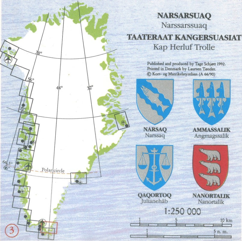
- This detailed topographic and hiking map shows elevation by contours a 50 meters. Main peaks are named, along with many other physical features eg bays and islands. Settlements, roads, airstrips (including heliports) and anchorages and selected landmarks are shown. Glaciers, moraine and low-lying coastal plains are also distinguished and contours extend for a limited extent into the icefield region.
- Type: Folded Map
- Subtype: Hiking
- Language: English
- Publication Date: 1992-06-01
- Scale: 1:250,000
- Regions Covered: Europe, North Atlantic Ocean
- Countries Covered: Greenland
- Folded Size: 5" (W) x 10" (H)
- Unfolded Size: N/A
- Weight: 2 oz


