Bureau of Land Management
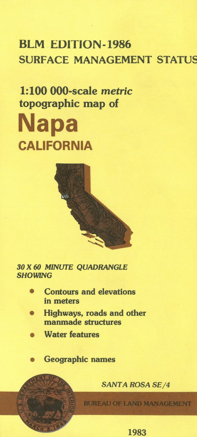
Napa, California Surface Management Map
Napa, California Surface Management Map
Couldn't load pickup availability
- SKU: BLM_NAPA_86
Discover the diverse landscapes of Napa, California, with the Bureau of Land Management’s Surface Management Topographic Map. This detailed map provides essential information for outdoor enthusiasts, land managers, and anyone navigating the Napa region, offering an in-depth look at the area's topography, land ownership boundaries, and surface management designations.
The map features clear elevation contours, roads, trails, water features, and key landmarks, making it easy to explore Napa’s rolling hills, vineyards, and natural spaces. It also highlights federal, state, and private land ownership, providing critical insights into land access, usage regulations, and public land restrictions.
This topographic map is built to withstand the elements, ensuring reliable use during your outdoor activities. Whether you’re hiking, researching land use, or managing resources, the Napa Surface Management Topographic Map is an indispensable tool for anyone exploring or working within this beautiful and dynamic region of California.
- Type: Folded Map
- Subtype: Land Use / Land Cover
- Publication Date: 1986-01-01
- Scale: 1:100,000
- Regions Covered: North America, Pacific U.S., Western U.S.
- Countries Covered: United States
- States Covered: California
- ISBN: 9780607110814
- MPN: 47153
- Folded Size: 4" (W) x 9" (H)
- Unfolded Size: 44" (W) x 27" (H)
- Weight: 2.4 oz