Mapple
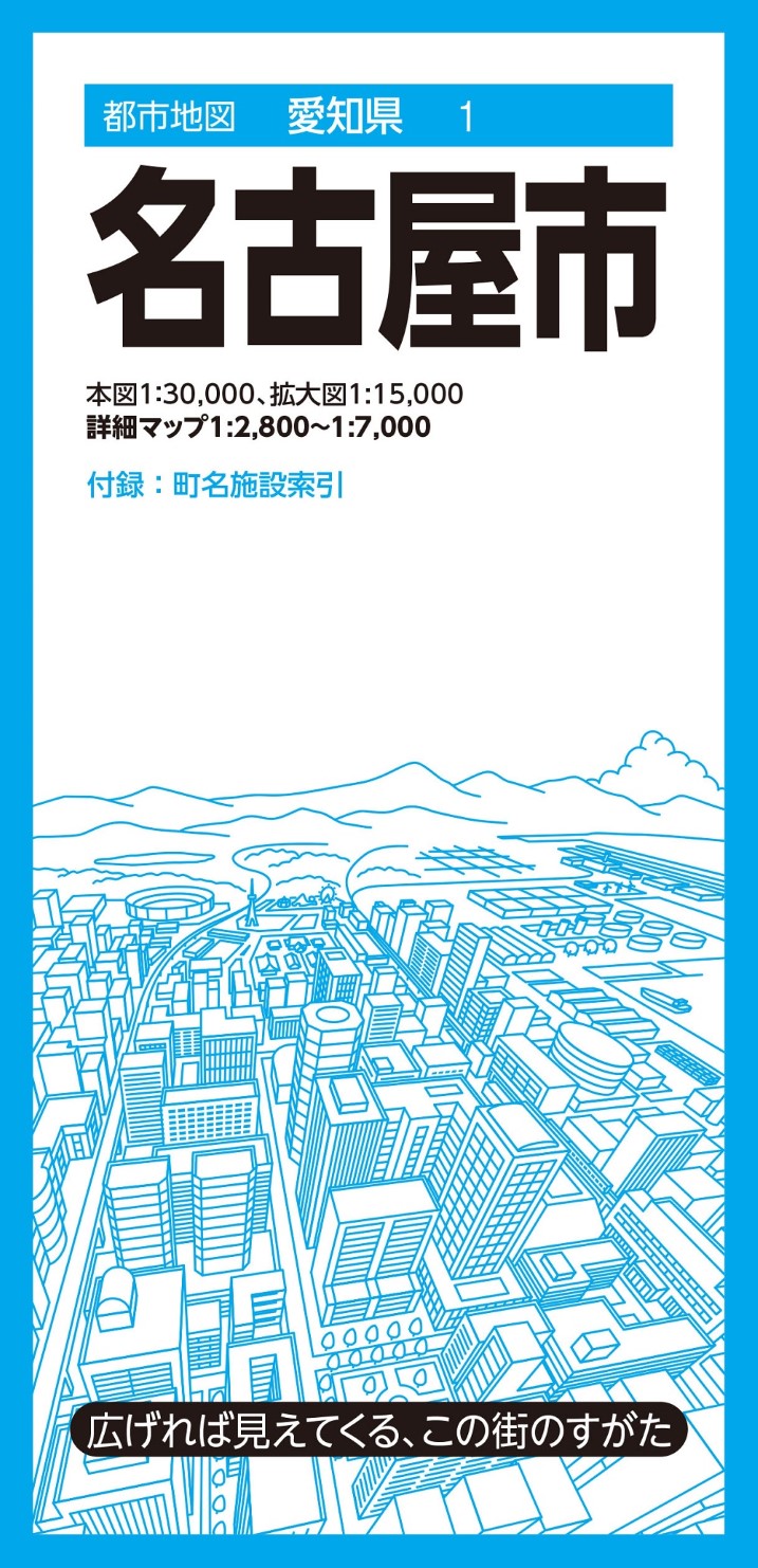
Nagoya City Map
Nagoya City Map
Couldn't load pickup availability
- SKU: MAPP_NAGOYA_24
Navigate Nagoya with confidence using this comprehensive large-format city map. Part of the popular City Map Series, which covers approximately 1,000 cities, towns, and municipalities throughout Japan, this detailed fold-out map provides accurate geographic information and practical local reference data for everyday use, business, travel, and planning.
Complete Coverage of Nagoya
This edition features multiple map scales and detailed area guides for key districts throughout Nagoya.
Main Map
Nagoya City — Scale 1:30,000
Enlarged Map
Central Nagoya Area — Scale 1:15,000
Detailed Supplement Maps
- Central Nagoya Detailed Map — Scale 1:6,500
- Imaike & Ikeshita — Scale 1:6,500
- Kanayama — Scale 1:7,000
- Atsuta Shrine Area — Scale 1:7,000
- Nagoya Station Area Detailed Guide Map — Scale 1:2,800
- Sakae District Detailed Guide Map — Scale 1:2,800
Included Reference Booklet
- Town and neighborhood name index
- Facility index covering government offices, public agencies, public facilities, and other key locations
Key Features
Large Fold-Out Format for Easy Viewing
The oversized map provides a clear overview of the entire city on a single sheet, making it easy to understand the city's layout, transportation networks, and important districts at a glance.
Accurate and Detailed Cartography
Carefully designed to represent essential geographic information, including:
- Roads and highways
- Railways and transit lines
- Addresses and neighborhood boundaries
- Public facilities and government offices
- Commercial and retail areas
- Parks and natural features
Recognizable logo-based symbols are used for convenience stores, fast-food restaurants, gas stations, and other commonly used services, allowing for quick visual identification.
Easy Location Search
Color-coded district boundaries combined with comprehensive town-name and facility indexes make finding destinations fast and intuitive.
Ideal For
- Business and sales territory planning
- Area marketing and market analysis
- Real estate professionals
- Distribution and demographic mapping
- Community safety and disaster preparedness projects
- Travel planning and local exploration
- Educational reference
- Housewarming and school entrance gifts
Product Specifications
Map Size (Unfolded)
109.1 × 78.8 cm
Package Size
10.3 × 21.3 × 1.45 cm
About the City Map Series
The City Map Series presents municipalities in an easy-to-understand large-format layout, combining detailed cartography with practical local information. Whether for professional use, navigation, research, or personal interest, these maps provide a valuable and reliable guide to Japan's cities and communities.
- Type: Folded Map
- Subtype: City Maps
- Language: Japanese
- Publication Date: 2024-03-08
- Regions Covered: Asia, East Asia, Pacific Ocean
- Countries Covered: Japan
- States Covered: Aichi
- ISBN: 9784398973368
- Folded Size: 4" (W) x 8" (H)
- Unfolded Size: 43" (W) x 31" (H)