1
/
of
1
PublicPress DE
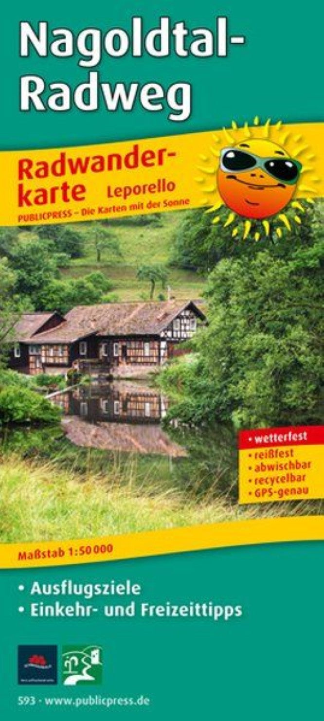
Nagoldtal-Radweg = Nagoldtal cycle path
Nagoldtal-Radweg = Nagoldtal cycle path
Regular price
$17.95 USD
Regular price
Sale price
$17.95 USD
Unit price
/
per
Shipping calculated at checkout.
Low stock
Couldn't load pickup availability
- SKU: PUB_C_593_NAGOLD_10
- The cycling map provides comprehensive information about the 90 km long bike path, which is part of the Heidelberg-Schwarzwald-Bodensee bike path. The starting point of the route is the source of the Nagold in Seewald-Urnagold. The route follows the river to its mouth to the Enz near Pforzheim. The chosen Leporello design of the map enables the route to be followed very well in detail in individual sections. It is recommended to cycle this very beautiful route in 2 days: So you can enjoy the view of the dense forests of the Northern Black Forest, who line the deep Nagoldtal, take part in a raft trip on the Nagold and races in places such as Bad Liebenzell, Wildberg or Make Altensteig. If you want to shorten the bike tour, you can quickly switch to the cultural railway that runs between Pforzheim and the town of Nagold.
- Type: Folded Map
- Subtype: Bicycling
- Language: German
- Publication Date: 2017-01-04
- Scale: 1:50,000
- Regions Covered: Central Europe, Europe
- Countries Covered: Germany
- ISBN: 9783899205930
- MPN: PP 0593
- Folded Size: 3.54" (W) x 7.86" (H)
- Unfolded Size: 38.94" (W) x 7.86" (H)
- Weight: .85 oz


