Fishing Hot Spots
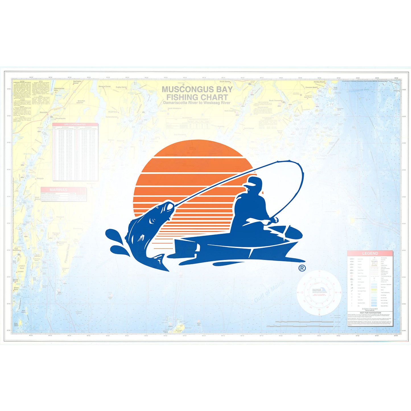
MUSCONGUS BAY FISHING MAP
MUSCONGUS BAY FISHING MAP
Regular price
$19.95 USD
Regular price
Sale price
$19.95 USD
Unit price
per
Shipping calculated at checkout.
Couldn't load pickup availability
- SKU: FHS_MUSCONGUS_BAY_
Saltwater Chart
Long a way of life in the region, fishing remains an important part of recreation in the area. Anglers seek striped bass along eelgrass-covered, shallow coves and in estuarine rivers. Bluefish are targeted around the islands and shoals, while Atlantic Mackerel are sought in harbored areas and open water.
Featured Species: Atlantic Cod, Atlantic Mackerel, Bluefin Tuna, Bluefish, Pollock and Striped Bass
Map Features:
- Tips and Techniques for Featured Species
- GPS Information
- 9 Access Locations Indicated
- 48 Proven Fishing Areas Marked
- Area Marina Information
- Artificial Reefs Indicated with GPS (if applicable)
- Covers coast between Damariscotta River and Weskeag River
- Type: Folded Map
- Subtype: Fishing
- Language: English
- Regions Covered: Mid-Atlantic/Northeastern U.S., North America
- Countries Covered: United States
- States Covered: Maine
- ISBN: 9781591891321
- UPC: 836548001335
- MPN: ME0103
- Folded Size: 6" (W) x 9" (H)
- Unfolded Size: 36" (W) x 24" (H)
- Weight: 3.2 oz