International Travel Maps
Munich & Southern Bavaria Travel Reference Map
Munich & Southern Bavaria Travel Reference Map
Couldn't load pickup availability
- SKU: ITM_BAVARIA_S_MUN_24
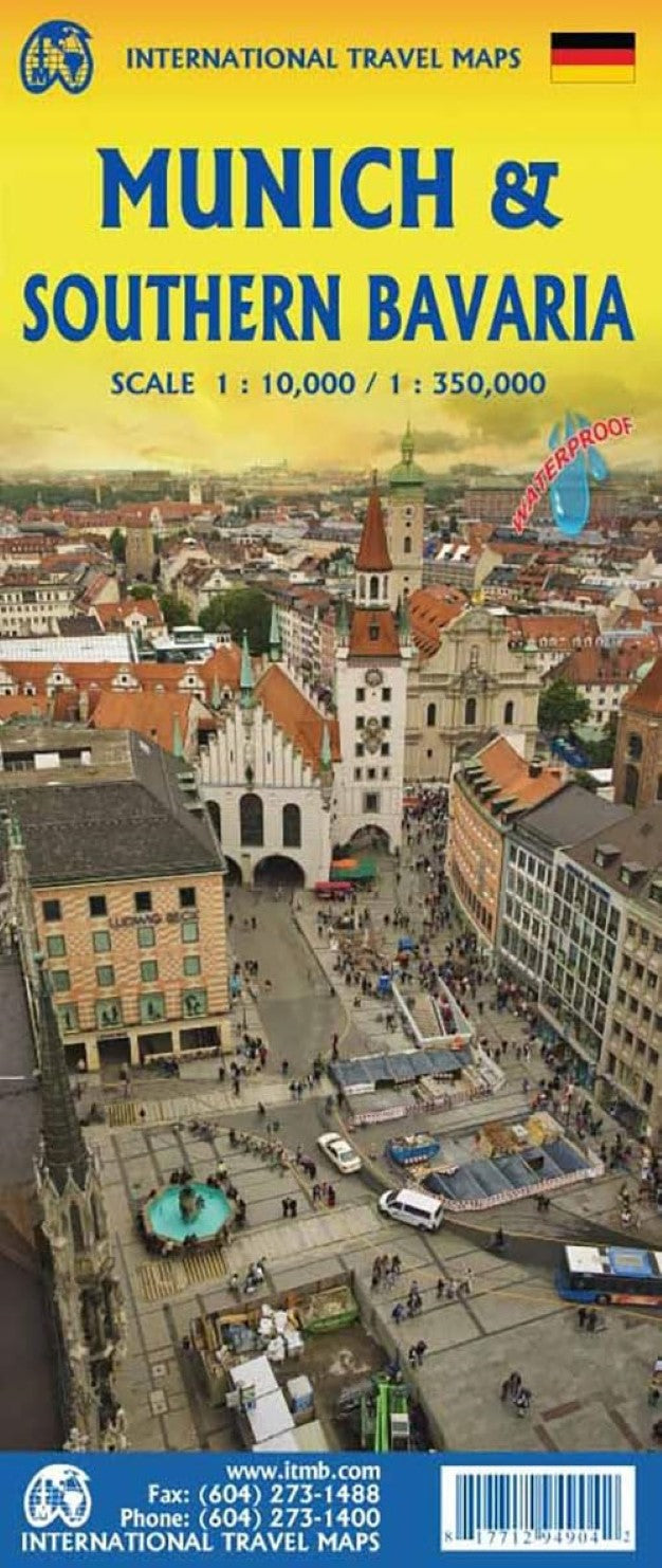
The most visited part of Germany is Bavaria. There is so much to see and do in this part of Germany that we felt it needed its own map to show off its attractions. My own favourite place is Fussen, home of the famous Neuschwanstein Castle, but Bavaria is also home to Ulm’s cathedral, Augsburg’s medieval market square, and, of course, Munich (Munchen) with its historic Marienplatz and famous Octoberfest. The Bavaria side of the map stretches from Frankfurt in the northwest to Salzburg in the southeast and from the Bodensee on the Swiss border to Karlovy Vary in the Czech Republic’s west. The Munich/Munchen map covers almost all of the city within the ring road autobahn, from the Olympic Stadium in the north to Munchen Ostbahnhof in the southeast, showing the touristic city centre in excellent detail. All tram lines, S-bahn, and U-bahn lines are also shown, as well as a regional inset of main roads and rail lines in the Munich vicinity.
- Type: Folded Map
- Subtype: Travel
- Language: English
- Publication Date: 2024-06-01
- Scale: 1:350,000 / 1:10,000
- Regions Covered: Central Europe, Europe
- Countries Covered: Germany
- ISBN: 9781771294904
- Folded Size: 4" (W) x 9.5" (H)
- Unfolded Size: 27" (W) x 39" (H)
- Weight: 2.89 oz