1
/
of
1
Tom Harrison Maps
Mt. Wilson trail map
Mt. Wilson trail map
Regular price
$8.95 USD
Regular price
Sale price
$8.95 USD
Unit price
/
per
Shipping calculated at checkout.
Low stock
Couldn't load pickup availability
- SKU: TH_MT_WILSON_3
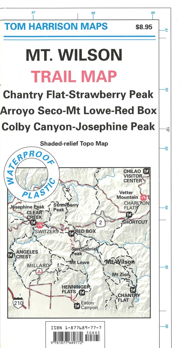
- Folded topo trail map of Mount Wilson area. Coveres Chantry Falt to Strawberry Peak, Arroyo Seco to Mt Low to Red Box, and BolyBanyon to Josephine Peak. Printed on one side on waterproof, tear-resistant plastic material.
- Type: Folded Map
- Subtype: Hiking
- Language: English
- Publication Date: 2003-06-01
- Scale: 1:31,680
- Regions Covered: North America, Western U.S.
- Countries Covered: United States
- States Covered: California
- ISBN: 9781877689772
- Folded Size: 3.94" (W) x 7.48" (H)
- Unfolded Size: 21.65" (W) x 14.96" (H)
- Weight: .8 oz


