Mapple
Mt. Maya & Mt. Rokkō Hiking Map
Mt. Maya & Mt. Rokkō Hiking Map
Couldn't load pickup availability
- SKU: MAPP_H_MAYA_26
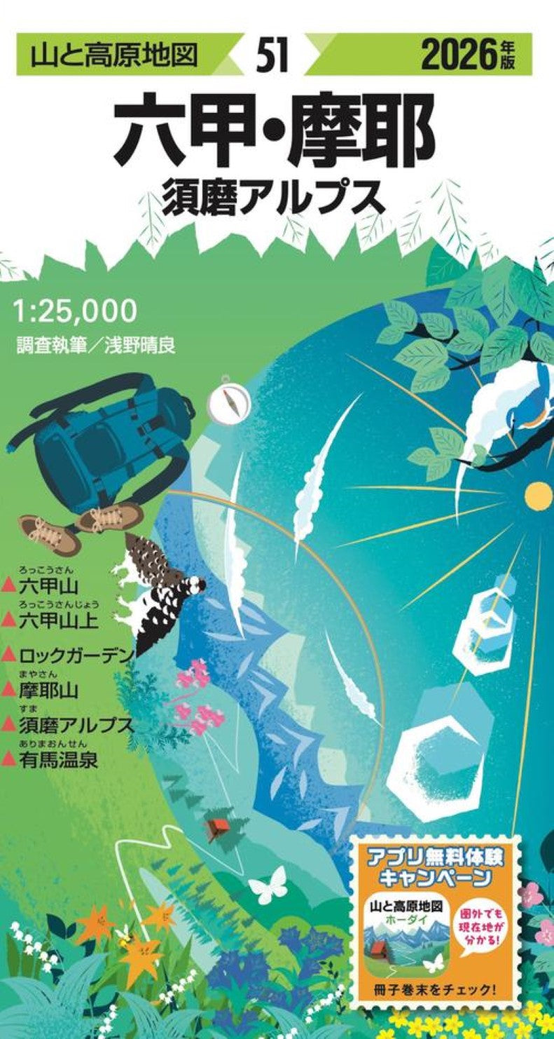
Mountain & Highland Map – Rokko Area (2026 Edition)
Discover the iconic hiking routes of the Rokko region with the trusted Mountain & Highland Map (Mt. Maya & Mt. Rokkō) – 2026 Edition.
This edition includes a purchaser-only coupon for 6 months of free access to the corresponding area in the “Mt. Maya & Mt. Rokkō” mobile app. Pair the outstanding visibility of a full-scale paper map with the convenience of GPS location tracking on your smartphone. Together, they make hiking more convenient, enjoyable, and safe.
Explore the Best of the Rokko Region
This map covers the most popular mountains and hiking destinations in the area, including:
Mount Rokko
Rokko Rock Garden
Mount Maya
Suma Alps
Arima Onsen
From scenic ridgelines and dynamic rock formations to relaxing hot springs after your hike, this map helps you plan the perfect outdoor adventure.
A Trusted Hiking Map Series for Over 60 Years
The Mountain & Highland Map series has been a beloved standard among hikers for more than six decades. It comprehensively covers Japan’s major mountain regions and is an essential tool for:
Route planning
Understanding full trail networks
Evaluating elevation changes
Safe and efficient navigation
Whether you’re a beginner or experienced trekker, this is a must-have companion.
Updated Annually Through On-Site Research
Each year, professional surveyors conduct field research in every mountain area to ensure the most accurate and up-to-date information, including:
Current trail conditions
Mountain huts and shelters
Water sources
Hazard points
Trail markers and landmarks
Complex intersections and difficult sections are clearly explained with enlarged maps and illustrations to help prevent wrong turns. Magnetic north lines are also printed, making it easy to adjust for compass declination while navigating.
Includes a Detailed Guidebook Packed with Information
Your purchase comes with a comprehensive guide booklet featuring:
Multiple recommended hiking plans curated by experts
Elevation charts and route profiles
Trail photography
Distance, estimated hiking time, and difficulty levels
Transportation and access information
Nature and history columns for deeper regional insight
Everything you need to confidently visualize and prepare for your hike.
Durable, Weather-Resistant Paper
Printed on specially developed tear-resistant, water-resistant paper, this map holds up even in rain or severe weather. You can unfold and use it outdoors without worry.
- Type: Folded Map
- Subtype: Hiking
- Language: Japanese
- Publication Date: 2026-02-20
- Scale: 1:50,000
- Regions Covered: Asia, East Asia, Pacific Ocean
- Countries Covered: Japan
- States Covered: Hyōgo
- ISBN: 9784398772916
- Folded Size: 4.33" (W) x 7.48" (H)
- Unfolded Size: 29.92" (W) x 20.47" (H)
- Weight: 3 oz