Mapple
Mt. Fuji, Misaka Mountains & Surrounding Area Hiking Map
Mt. Fuji, Misaka Mountains & Surrounding Area Hiking Map
Couldn't load pickup availability
- SKU: MAPP_H_FUJI_25
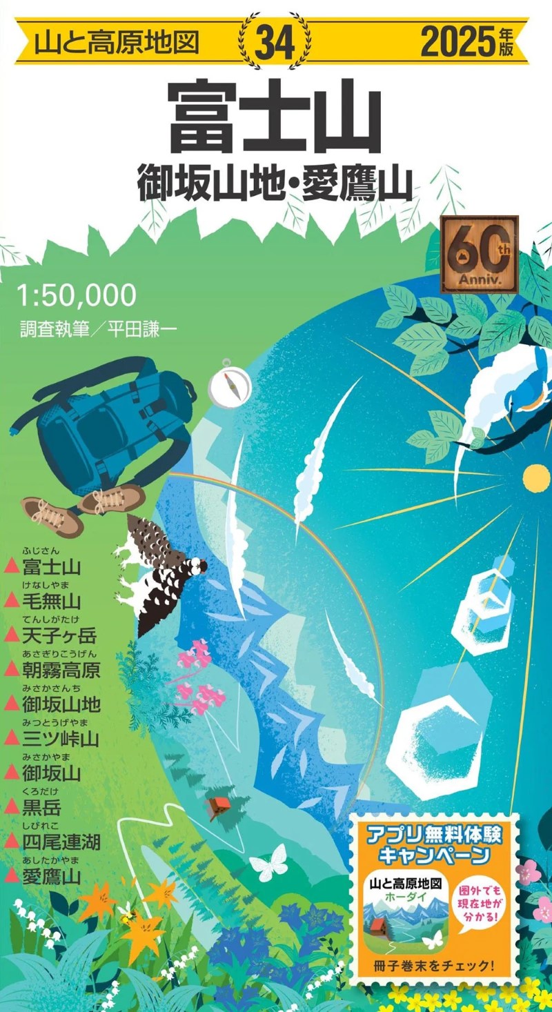
Mt. Fuji, Misaka Mountains & Surrounding Area
Includes: Mt. Fuji, Misaka Range, Mt. Mitsutōge, Mt. Misaka, Mt. Kurodake, Mt. Kenashi, Mt. Tenshigatake, Mt. Ashitaka, Fuji Five Lakes, Asagiri Plateau, Shibire Lake
2025 Edition – Exclusive Purchase Bonus
Purchase the Mt. Fuji Map 2025 edition and receive a six-month free trial of the app for the same area. Enjoy the convenience of a paper map with superior readability together with a digital map that shows your real-time location, making your hiking adventures safer and more enjoyable.
(See the product insert for details on activating your free trial.)Japan’s Trusted Hiking Map for Over 60 Years
First published more than six decades ago, Mt. Fuji Map is Japan’s long-standing standard in mountain maps. Covering all of Kyūya Fukada’s “100 Famous Japanese Mountains” and other major hiking regions, every map is updated annually through professional field surveys, ensuring accuracy and reliability.
It’s an essential tool for hikers who want to clearly understand both their destination and current position in the mountains.Field-Verified, Practical, and Reliable
Each map is carefully crafted for maximum practicality, useful both during trip planning and while out on the trail.
It includes up-to-date details on trails, mountain huts, water sources, danger zones, and landmarks, all verified through field research. Complex junctions and tricky routes are shown with enlarged maps and illustrations, clearly highlighting areas where hikers commonly lose their way. Printed magnetic north lines help you easily check compass deviation from true north.Visual Course Guidebook Included
A colorful mini guidebook is included, featuring:
Course options for both day hikes and overnight trips
Detailed route explanations, hiking times, and photos
Elevation profiles showing distance and height differences
Trailhead access maps and informative local columns
Packed with insights to help you plan and enjoy your hike to the fullest.
Built for Tough Mountain Conditions
Printed on tear-resistant, waterproof paper with a protective varnish coating, this map can be used safely even in rain or harsh weather without ink fading or tearing.
Map Size: 54.5 × 78.8 cm
Package Size: 19.1 × 10.5 × 0.8 cm- Type: Folded Map
- Subtype: Hiking
- Language: Japanese
- Publication Date: 2025-03-07
- Scale: 1:50,000
- Regions Covered: Asia, East Asia, Pacific Ocean
- Countries Covered: Japan
- States Covered: Shizuoka, Yamanashi
- ISBN: 9784398772046
- Folded Size: 4" (W) x 8" (H)
- Unfolded Size: 31" (W) x 21.45" (H)
- Weight: 3.5 oz