Mapple
Mt. Akagi, Sukai, Haruna & Surrounding Mountains Hiking Map
Mt. Akagi, Sukai, Haruna & Surrounding Mountains Hiking Map
Couldn't load pickup availability
- SKU: MAPP_H_AKA_25
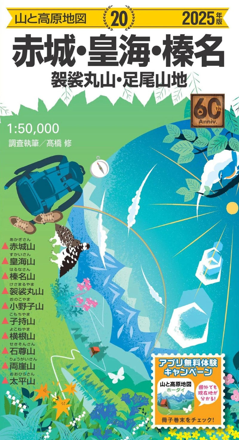
Akagi, Sukai, Haruna & Surrounding Mountains
Includes: Akagi-san, Sukai-san, Haruna-san, Kōshin-san, Kesamaru-san, Nemoto-san, Narukami-san, Onoko-san, Komochi-san, Yokone-san, Sekison-san, Ryōgai-san, Taihei-san
2025 Edition – Exclusive Purchase Bonus
With the purchase of this 2025 Akagi, Sukai, Haruna Map (Mountains and Highlands Map), you’ll receive six months of free access to the smartphone app for the same map area. Combine the clarity of a traditional paper map with the convenience of a GPS-enabled digital version to make your mountain adventures safer and more enjoyable.
(See enclosed details for instructions on activating your app bonus.)The Trusted Classic for Mountain Hiking
For over 60 years, Mapple has been Japan’s leading brand of hiking maps—covering all of the “Japan’s 100 Famous Mountains” selected by Kyūya Fukada and major mountain regions across the country.
Each year, professional surveyors update map details through on-site fieldwork, ensuring that route information reflects the latest trail conditions. This map is an essential tool to help hikers accurately identify both their destination and current location.Field-Verified and Highly Practical
Designed with a focus on real-world usability, this map includes verified details such as mountain huts, water sources, hazardous zones, and landmarks.
Complex intersections and confusing trail areas are shown in enlarged maps and illustrations, clearly marking sections where navigation mistakes are most common.
Magnetic north lines are printed at regular intervals, allowing you to easily check the deviation between true north and magnetic north with your compass.Compact Guidebook Included
A visual mini-guidebook comes with the map, featuring easy-to-follow course descriptions, hiking times, photos, and elevation profiles. It also provides access maps to trailheads, and columns introducing the local geography and nature of each mountain area—everything you need for planning your next hike.
Weather-Resistant and Durable
The map is printed on tear-resistant, waterproof paper treated with a protective varnish coating.
Even in rain or harsh mountain weather, it can be safely unfolded and used without damage.Map Size: 54.5 × 78.8 cm
Package Size: 19.1 × 10.5 × 0.8 cm- Type: Folded Map
- Subtype: Hiking
- Language: Japanese
- Publication Date: 2025-03-07
- Scale: 1:50,000
- Regions Covered: Asia, East Asia, Pacific Ocean
- Countries Covered: Japan
- States Covered: Ibaraki
- ISBN: 9784398771902
- Folded Size: 31" (W) x 22" (H)
- Unfolded Size: 4" (W) x 8" (H)
- Weight: 3.5 oz