Bureau of Land Management
Mount Rainier Surface Management Map
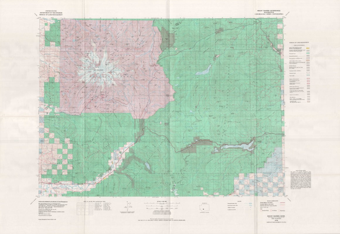
Mount Rainier Surface Management Map
Couldn't load pickup availability
- SKU: BLM_RAINIER_78
Explore the Mount Rainier area with the Bureau of Land Management’s Surface Management Topographic Map, your essential guide to navigating this iconic region. This detailed map provides comprehensive topographic features, land ownership boundaries, and surface management designations, making it an invaluable resource for outdoor adventurers, land managers, and anyone seeking to understand the complexities of the Mount Rainier area.
The map features clear, easy-to-read elevation contours, roads, trails, water features, and key landmarks, while also highlighting federal, state, and private land ownership. This information is vital for understanding access points, land use restrictions, and the rules governing public land in the region. Whether you're planning a hike, camping trip, or working on land management projects, this map ensures you have the accurate, up-to-date details you need.
With its precise details and comprehensive coverage, it’s the ideal tool for anyone exploring the Mount Rainier area, whether you're tackling challenging trails, managing land use, or simply discovering the beauty of this majestic region.
- Type: Folded Map
- Subtype: Land Use / Land Cover
- Publication Date: 1978-01-01
- Scale: 1:100,000
- Regions Covered: North America, Northwestern U.S.
- Countries Covered: United States
- States Covered: Washington
- ISBN: 9780607574258
- MPN: 105941
- Folded Size: 10.5" (W) x 7.25" (H)
- Unfolded Size: 42" (W) x 29" (H)
- Weight: 3 oz