1
/
of
1
National Geographic Maps
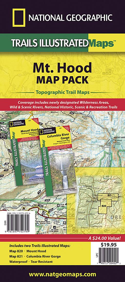
Mount Hood : Columbia River Gorge : map pack
Mount Hood : Columbia River Gorge : map pack
Regular price
$24.95 USD
Regular price
Sale price
$24.95 USD
Unit price
/
per
Shipping calculated at checkout.
Couldn't load pickup availability
- SKU: TI_MT_HOOD_PK_20
- • Waterproof • Tear-Resistant • Travel Map The Mount Hood, Columbia River Gorge Map Pack Bundle is the perfect companion for anyone planning a trip the northern edge of the Cascade Mountains in Oregon. The two maps cover one of the most varied landscapes in the country, from the glaciers on the peak of the cone shaped Mount Hood to the turbulent waters of the Columbia River this combination of maps covers it all. The recreational opportunities available in this one small section of northern Oregon are astounding and each map is built to showcase the very different environments. Both maps includes trails, backcountry roads as well as numerous points of interest such as camping, wind surfing, and rock climbing areas. Buy the Map Pack and save 15%! The Mount Hood, Columbia River Gorge Map Pack includes: Map 820 :: Mount Hood [Mount Hood and Willamette National Forests] Map 821 :: Columbia River Gorge National Scenic Area Every Trails Illustrated map is printed on "Backcountry Tough" waterproof, tear-resistant paper. A full UTM grid is printed on the map to aid with GPS navigation. contains maps (ML Codes): 2034617M 2034615M
- Type: Folded Map
- Subtype: Park
- Language: English
- Publication Date: 2022-06-01
- Scale: 1:75,000
- Regions Covered: North America, Northwestern U.S.
- Countries Covered: United States
- States Covered: Oregon
- ISBN: 9781597752794
- UPC: 749717013391
- MPN: TI01020452B
- Folded Size: 4.33" (W) x 9.45" (H)
- Unfolded Size: 24.8" (W) x 37.01" (H)
- Weight: 6.7 oz


