1
/
of
1
TASMAP
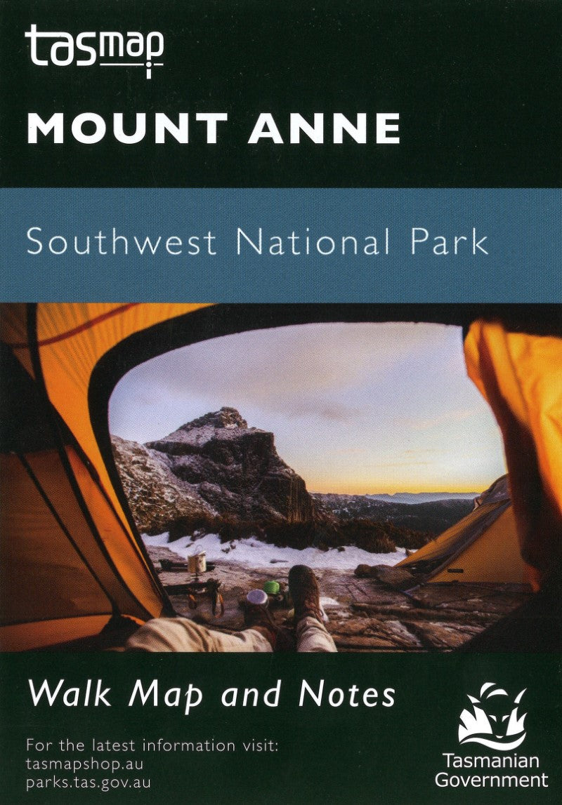
Mount Anne Southwest National Park Walk Map
Mount Anne Southwest National Park Walk Map
Regular price
$9.99 USD
Regular price
Sale price
$9.99 USD
Unit price
/
per
Shipping calculated at checkout.
Low stock
Couldn't load pickup availability
- SKU: TAS_MT_ANNE_24
Mount Anne is located in Southwest National Park within the Tasmanian Wilderness World Heritage Area. With an elevation of 1423m, Mount Anne is the highest peak in south west Tasmania and dominates the region around Lake Pedder. Mount Anne is a difficult walk but, for most, the views and experience are worth the effort.
- Type: Folded Map
- Subtype: Park
- Language: English
- Publication Date: 2024-06-01
- Scale: 1:40,000
- Regions Covered: Australasia, Oceania, Pacific Ocean
- Countries Covered: Australia
- States Covered: Tasmania
- ISBN: 9318923029536
- MPN: WKANNE
- Folded Size: 4" (W) x 6" (H)
- Unfolded Size: N/A
- Weight: 1 oz


