1
/
of
1
Fishing Hot Spots
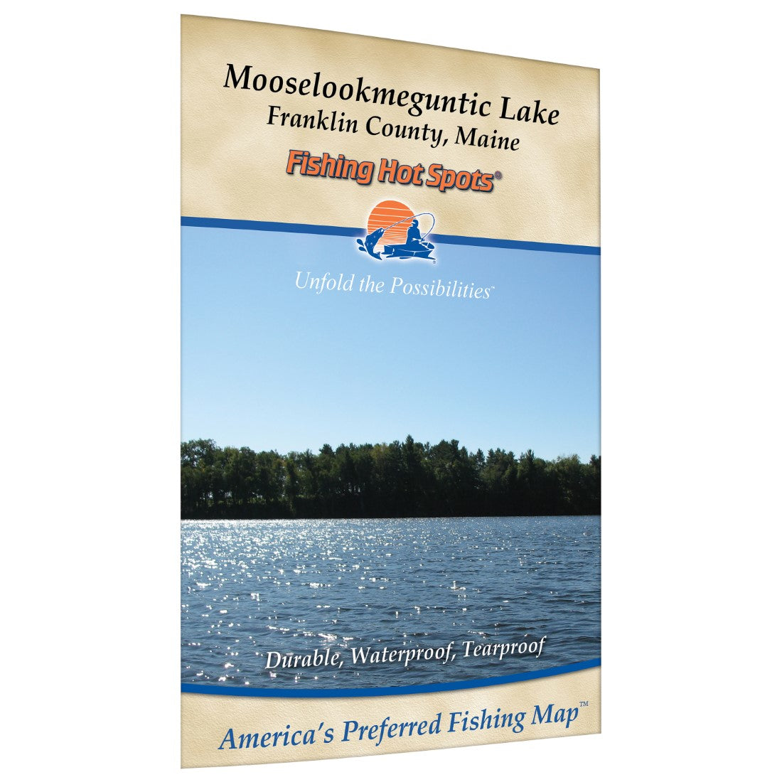
Mooselookmeguntic Lake fishing map
Mooselookmeguntic Lake fishing map
Regular price
$13.95 USD
Regular price
Sale price
$13.95 USD
Unit price
/
per
Shipping calculated at checkout.
Couldn't load pickup availability
- SKU: FHS_MOOSELOOK_
- Mooselookmeguntic and Cupsuptic Lakes are separate bodies of water that have been joined to make one lake by raising the water level of Mooselookmeguntic Lake by 14 feet. Combined, they total over 16,300 acres. The water level is maintained at Upper Dam, a twenty-foot high dam on the southwest shore that serves as the outlet of Mooselookmeguntic Lake. This outlet feeds Richardson Lake and then the Rapid River, to Lake Umbagog. The dam is renowned for its salmon fishing and is also the site where the Grey Ghost streamer fly was invented by Gertrude "Carrie” Stevens. Featured Species: Landlocked Salmon, Lake Trout (togue), Brook Trout, Smallmouth Bass, Largemouth Bass, White Perch, Rainbow Smelt Map Features: Waterway Profile, Accesses, Fishery Information, Contour Lines
- Type: Folded Map
- Subtype: Fishing
- Language: English
- Scale: 1:30,000
- Regions Covered: Mid-Atlantic/Northeastern U.S., North America
- Countries Covered: United States
- States Covered: Maine
- UPC: 071365904210
- MPN: G421
- Folded Size: 6" (W) x 9" (H)
- Unfolded Size: 12" (W) x 18" (H)
- Weight: 2 oz


