Tom Harrison Maps
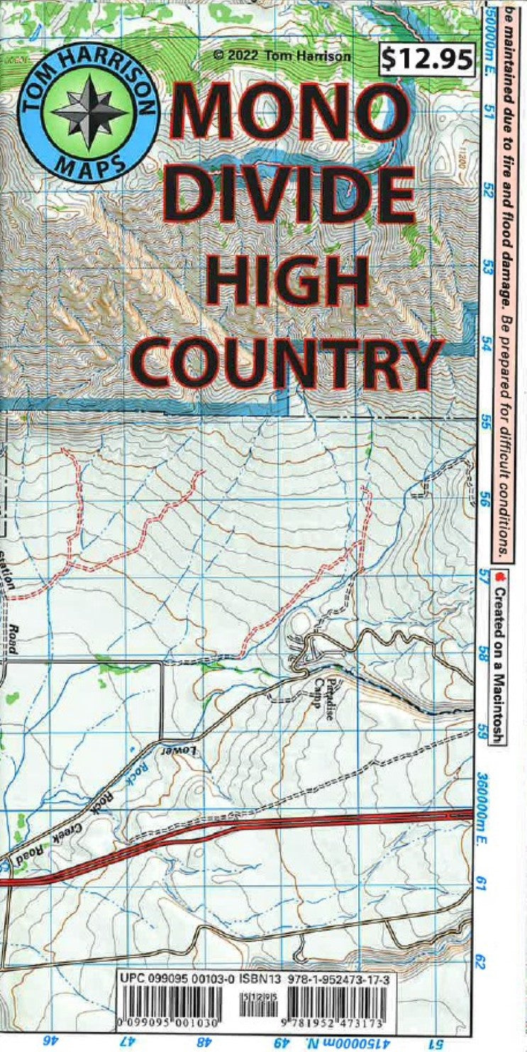
Mono Divide High Country trail map
Mono Divide High Country trail map
Regular price
$12.95 USD
Regular price
Sale price
$12.95 USD
Unit price
per
Shipping calculated at checkout.
Couldn't load pickup availability
- SKU: TH_MONO_22
- Lake Tahoe & Tahoe Rim Trails map has color-coded symbols and trails, mileages between trail junctions, latitude/longitude, UTM grids, contour lines, vegetation, and elevations at trail junctions. Tom Harrison Maps is famous for the beauty and accuracy of its maps. Include the entire Tahoe Rim Trail.
- Type: Folded Map
- Subtype: Hiking
- Language: English
- Publication Date: 2022-06-01
- Scale: 1:63,360
- Regions Covered: North America, Western U.S.
- Countries Covered: United States
- States Covered: California
- ISBN: 9781952473173
- UPC: 099095001030
- Folded Size: 4.33" (W) x 7.09" (H)
- Unfolded Size: 31.5" (W) x 17.32" (H)