Latitude 40° Maps
Moab West Trails Hiking Map
Moab West Trails Hiking Map
Regular price
$14.95 USD
Regular price
Sale price
$14.95 USD
Unit price
per
Shipping calculated at checkout.
Couldn't load pickup availability
- SKU: LAT40_MOAB_W_21
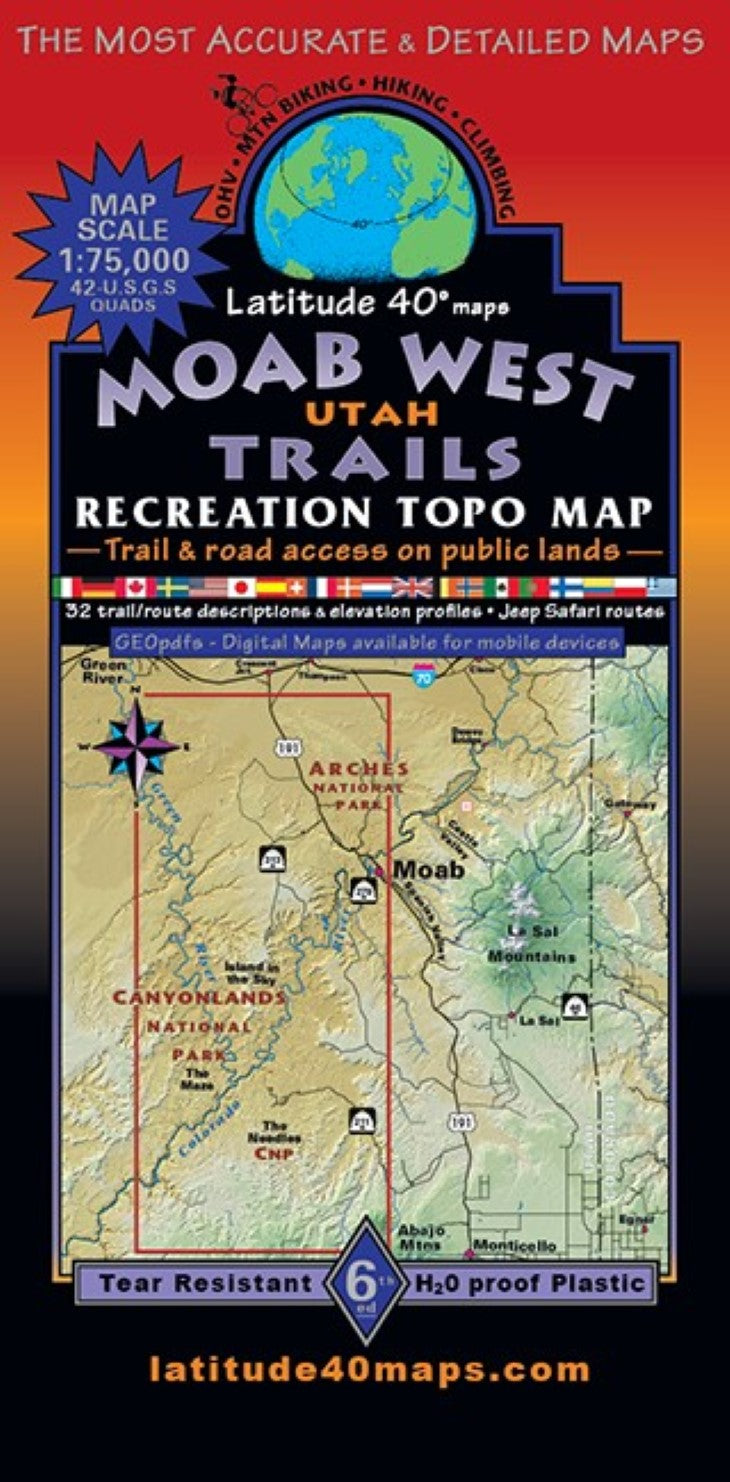
- If you've explored the backcountry surrounding Moab over the last three decades you have probably seen or used versions of our Moab East and Moab West maps. These two maps belong together like peanut butter and jelly! and are best used together for navigating a lifetime of adventure. The definitive,”go to” maps are often referred to as the, "The Bible”…..our “Magnum Opus” for serious trail and route navigation. Public access trail and road information is shown for all user groups. Two-sided map covers 72 miles north to south from 1 mile south of Cresent Jct. (exit 180 off I-70 and US 191), south to 5 miles south of Beef Basin. East to west for 31 miles from the east side of Moab, west to White Wash Sand Dunes Open OHV Area off Ruby Ranch Rd. The back-side includes Canyonlands National Park (CNP) - "Island in the Sky”district, highlighting the unparalleled, 104 mile “White Rim Trail” route for licensed 4x4s, dual sport motos and mtn. bikes, Dead Horse Point and Utahraptor State Parks, the west half of Arches NP and all the Mtb. Singletrack Trail Systems west of Moab The frontside features, the wild and remote, least visited and extremely rugged CNP Maze district and the second most popular rugged ,but more accessible CNP Needles district, parts of Bears Ears NM, Glen Canyon NRA, Indian Creek Special Rec. Area and Manti La Sal National Forest - northern Abajo Mtns. General information on weather and seasonal hazards, reading maps, getting lost, the fragile desert environment, camping etiquette and preparedness. Includes 32 detailed trail descriptions and elevation/distance profiles plus an additional 13 brief route suggestions. Trailheads, designated campgrounds, dispersed camping, picnic areas, day use areas, parking/ pullouts, scenic viewpoints/overlooks, climbing features/areas, sand dunes, dinosaur fossil and track site areas. Historical sites and special geologic areas. Includes Colorado River miles 0-66 and 193-216 and Green River miles 0-101 with (0 being the confluence of the two rivers) rapids, launch/shuttle sites and designated river camps. Moab West Trails and Moab East Trails, together, side by side cover ~72 miles north to south and ~61 miles east to west, a vast area of canyon country, desert landscapes and the La Sal and Abajo Mountain Ranges surrounding the town of Moab.
- Type: Folded Map
- Subtype: Hiking
- Language: English
- Publication Date: 2021-06-01
- Scale: 1:75,000
- Regions Covered: North America, Western U.S.
- Countries Covered: United States
- States Covered: Utah
- ISBN: 9781879866478
- Folded Size: 4" (W) x 8" (H)
- Unfolded Size: 25" (W) x 39" (H)
- Weight: 3 oz