1
/
of
1
Freytag & Berndt
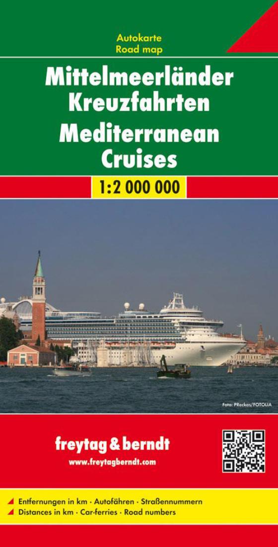
Mittelmeerländer kreuzfahrten = Mediterranean cruises
Mittelmeerländer kreuzfahrten = Mediterranean cruises
Regular price
$19.95 USD
Regular price
Sale price
$19.95 USD
Unit price
/
per
Shipping calculated at checkout.
Couldn't load pickup availability
- SKU: FB_MEDITERR2_14
- Mediterranean Cruises map from Freytag and Berndt, showing the whole of the Mediterranean Sea plus the south-western part of the Black Sea at 1:2,000,000 on a large double-sided sheet. Main ports are highlighted and car ferry routes are marked. The region is divided east/west, with southern Italy and Sicily included on both sides. An inset provides coverage of the Ukrainian coast of the Black Sea with most of Crimea. Perhaps somewhat incorrectly titled, the map does not aim to highlight locations visited by the Mediterranean cruises, but rather shows the network of roads and main railway lines across the regions bordering the Mediterranean and the south-western part of the Black Sea. Also shown are main airports and numerous car ferry routes. International and within most countries internal administrative boundaries are marked. Topography is indicated by relief shading, with spot heights and names of mountain ranges, etc. Latitude and longitude lines are drawn at 1° intervals. The map has no index. Multilingual map legend includes English.
- Type: Folded Map
- Subtype: Travel
- Language: Czech, Dutch, English, French, German, Hungarian, Italian, Polish, Slovak, Spanish
- Publication Date: 2014-06-01
- Scale: 1:2,000,000
- Regions Covered: Adriatic Sea, Balkans, Central Europe, Europe, Mediterranean Sea
- Countries Covered: Albania, Bosnia and Herzegovina, Bulgaria, Croatia, France, Greece, Hungary, Italy, Kosovo, Montenegro, North Macedonia, Serbia, Slovenia, Spain, Turkey
- ISBN: 9783707912906
- MPN: AK 2007
- Folded Size: 5.12" (W) x 10.24" (H)
- Unfolded Size: 34.65" (W) x 49.21" (H)
- Weight: 7.1 oz


